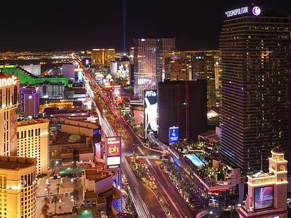
Las Vegas Boulevard, Las Vegas
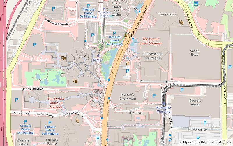
Map
Gallery
Facts and practical information
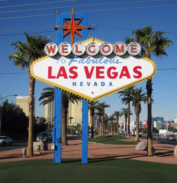
Las Vegas Boulevard is a major road in Clark County, Nevada, United States, best known for the Las Vegas Strip portion of the road and its casinos. Formerly carrying U.S. Route 91, which had been the main highway between Los Angeles, California and Salt Lake City, Utah, it has been bypassed by Interstate 15 and serves mainly local traffic with some sections designated State Route 604. ()
Address
Paradise (The Strip)Las Vegas
ContactAdd
Social media
Add
Day trips
Las Vegas Boulevard – popular in the area (distance from the attraction)
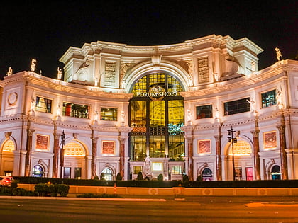
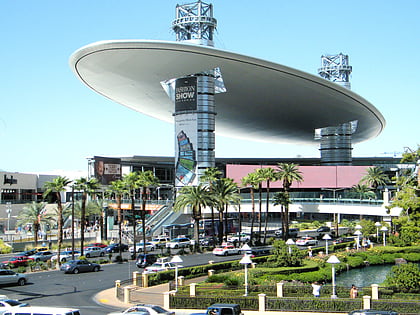
Nearby attractions include: Las Vegas Strip, The Forum Shops at Caesars, Fashion Show Mall, Caesars Palace.
Frequently Asked Questions (FAQ)
Which popular attractions are close to Las Vegas Boulevard?
Nearby attractions include Casino Royale Hotel & Casino, Las Vegas (1 min walk), The Volcano, Las Vegas (2 min walk), Harrah's Las Vegas, Las Vegas (3 min walk), Grand Canal Shoppes, Las Vegas (4 min walk).
How to get to Las Vegas Boulevard by public transport?
The nearest stations to Las Vegas Boulevard:
Bus
Train
Bus
- Mirage • Lines: Deuce (2 min walk)
- Treasure Island • Lines: Deuce (4 min walk)
Train
- Harrah's / The Linq (6 min walk)
- Caesars Palace / Flamingo (10 min walk)

