Las Vegas Strip, Las Vegas
Map
Gallery
Facts and practical information
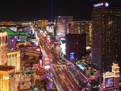
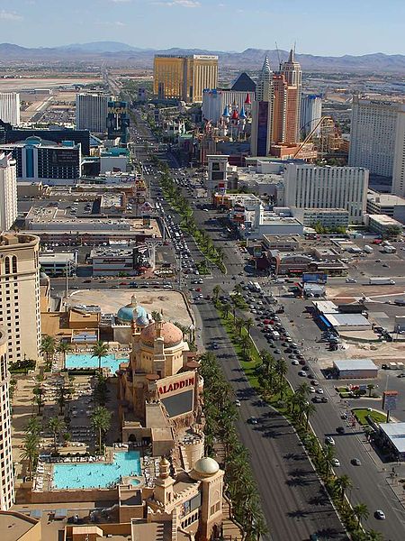
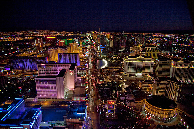
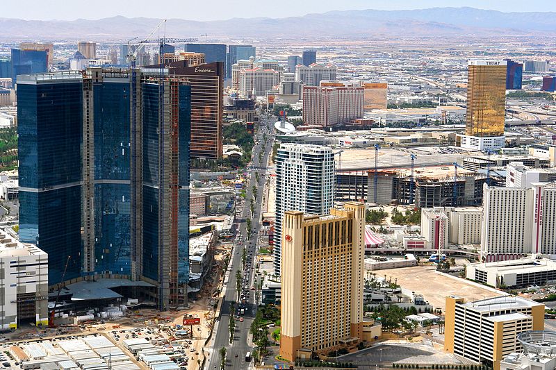
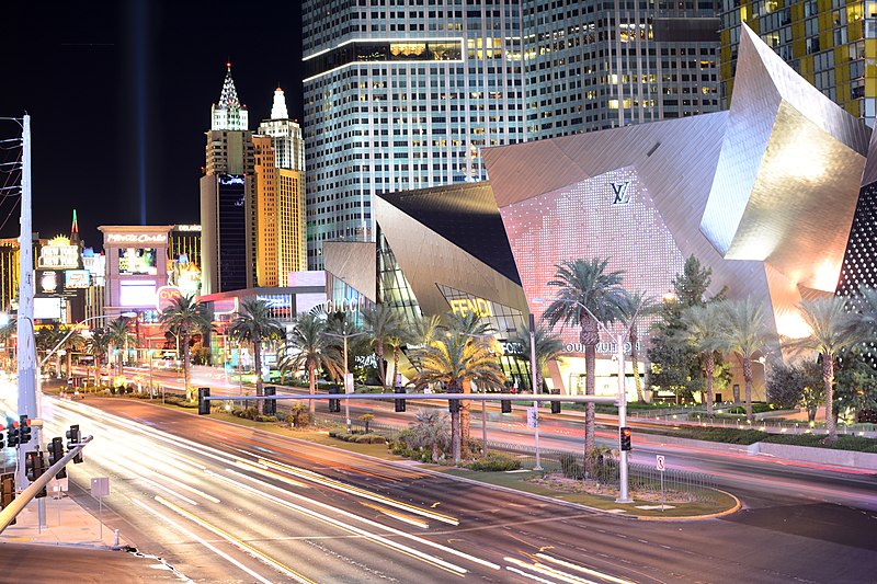
The Las Vegas Strip is a stretch of Las Vegas Boulevard South in Clark County, Nevada, that is known for its concentration of resort hotels and casinos. The Strip, as it is known, is about 4.2 mi long, and is immediately south of the Las Vegas city limits in the unincorporated towns of Paradise and Winchester, but is often referred to simply as "Las Vegas". ()
Day trips
Las Vegas Strip – popular in the area (distance from the attraction)
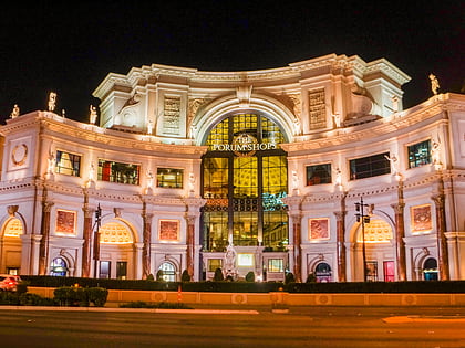
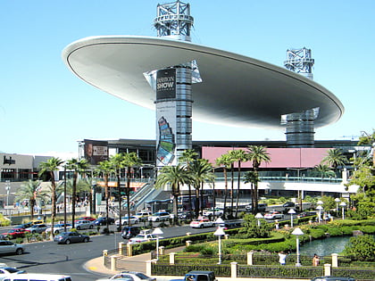
Nearby attractions include: The Forum Shops at Caesars, Fashion Show Mall, Caesars Palace, The Venetian Las Vegas.
Frequently Asked Questions (FAQ)
Which popular attractions are close to Las Vegas Strip?
Nearby attractions include Casino Royale Hotel & Casino, Las Vegas (3 min walk), Las Vegas Boulevard, Las Vegas (3 min walk), The Volcano, Las Vegas (3 min walk), Harrah's Las Vegas, Las Vegas (3 min walk).
How to get to Las Vegas Strip by public transport?
The nearest stations to Las Vegas Strip:
Bus
Train
Bus
- Mirage • Lines: Deuce (2 min walk)
- Caesars Palace • Lines: Deuce (3 min walk)
Train
- Harrah's / The Linq (7 min walk)
- Caesars Palace / Flamingo (10 min walk)
