Bella Vista, Philadelphia
Map

Map

Facts and practical information
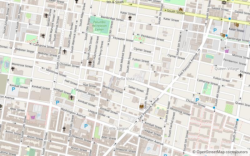
Bella Vista, Italian for "beautiful sight", is a neighborhood in the South Philadelphia section of Philadelphia, Pennsylvania. ()
Coordinates: 39°56'19"N, 75°9'23"W
Day trips
Bella Vista – popular in the area (distance from the attraction)
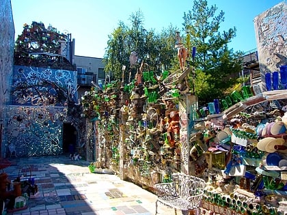
Nearby attractions include: Philadelphia's Magic Gardens, Theatre of Living Arts, Old Pine Street Church, Fleisher Art Memorial.
Frequently Asked Questions (FAQ)
Which popular attractions are close to Bella Vista?
Nearby attractions include Fleisher Art Memorial, Philadelphia (2 min walk), Friends of Cianfrani Park, Philadelphia (4 min walk), Little Saigon, Philadelphia (5 min walk), George W. Nebinger School, Philadelphia (5 min walk).
How to get to Bella Vista by public transport?
The nearest stations to Bella Vista:
Bus
Metro
Train
Tram
Bus
- Spruce St & 6th St • Lines: 12 (14 min walk)
- Locust St & 8th St • Lines: 12, 47 (15 min walk)
Metro
- Ellsworth-Federal • Lines: Bsl (16 min walk)
- 9th-10th & Locust • Lines: Patco (16 min walk)
Train
- Jefferson Station (26 min walk)
- Suburban Station (32 min walk)
Tram
- 13th Street • Lines: 10, 11, 13, 34, 36 (26 min walk)
- 15th Street • Lines: 10, 11, 13, 34, 36 (28 min walk)

 SEPTA Regional Rail


