Allagash Lake, Allagash Wilderness Waterway
Map

Map

Facts and practical information
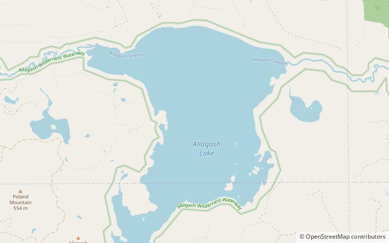
Allagash Lake is in the North Maine Woods on the boundary of Maine range 14 townships 7 and 8. Allagash Stream flows into the northwest corner of the lake from Allagash Pond, Crescent Pond, and Mud Pond in township 9 range 15. Allagash Stream overflows the northeast corner of the lake and flows 5 miles through Little Round Pond into Chamberlain Lake. Chamberlain Lake originally overflowed through Eagle Lake and Churchill Lake to the Allagash River; but was diverted through Telos Cut to the Penobscot River in the 1850s. Allagash Lake provides good habitat for togue and squaretail. ()
Length: 4.4 miWidth: 8448 ftMaximum depth: 89 ftElevation: 1037 ft a.s.l.Coordinates: 46°19'13"N, 69°31'40"W
Address
Allagash Wilderness Waterway
ContactAdd
Social media
Add
