Texas State Highway Spur 345, San Antonio
Map
Facts and practical information
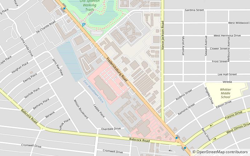
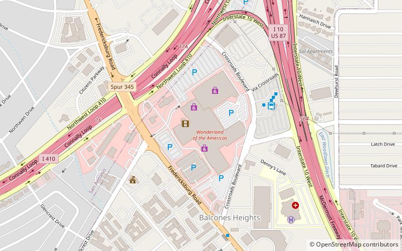
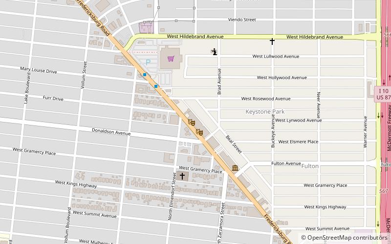
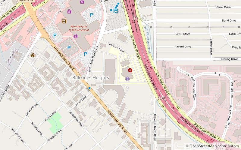
Spur 345 is a 4.538-mile-long loop route through the city of San Antonio in the U.S. state of Texas. It follows a former route of U.S. Highway 87, which it now separates from, about 4.5-mile north of Balcones Heights on the outskirts of San Antonio, on the way into that city. The road is a major arterial for San Antonio and a main route into Balcones Heights, providing access to the United Services Automobile Association headquarters as well as to the South Texas Medical Center. ()
Coordinates: 29°28'34"N, 98°32'15"W
Address
Central City (Maverick)San Antonio
ContactAdd
Social media
Add
Getting there by public transportation
Public transportation stops near this location
- Bus
 Bus
Bus
- Calculate routeBabcock Station 10 min walk
- Calculate routeDe Chantle Station 10 min walk
- Calculate routeMary Louise Station 26 min walk
- Calculate routeCrossroads Station 30 min walk
Day trips


Frequently Asked Questions (FAQ)
How to get to Texas State Highway Spur 345 by public transport?
The nearest stations to Texas State Highway Spur 345:
Bus
Bus
- Babcock Station • Lines: 100 (10 min walk)
- De Chantle Station • Lines: 100 (10 min walk)