Balcones Heights, San Antonio
Map
Facts and practical information
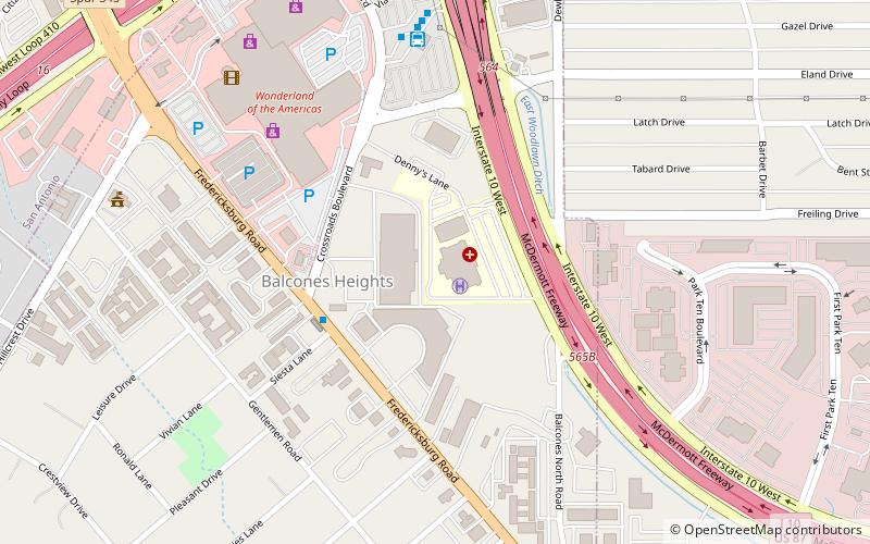
Balcones Heights is a city in Bexar County, Texas, United States. The population was 2,941 at the 2010 census, and it was incorporated in 1948. Balcones Heights is an enclave of San Antonio, surrounded entirely by the city, thus some residents and out-of-town visitors erroneously consider it merely a neighborhood of the larger city rather than its own unique community which did so to prevent annexation. ()
Address
Central City (Balcones Heights)San Antonio
ContactAdd
Social media
Add
Getting there by public transportation
Public transportation stops near this location
- Bus
 Bus
Bus
- Calculate routeCrossroads Station 4 min walk
- Calculate routeCrossroads Park & Ride 7 min walk
- Calculate routeDe Chantle Station 20 min walk
Day trips
Balcones Heights – popular in the area (distance from the attraction)
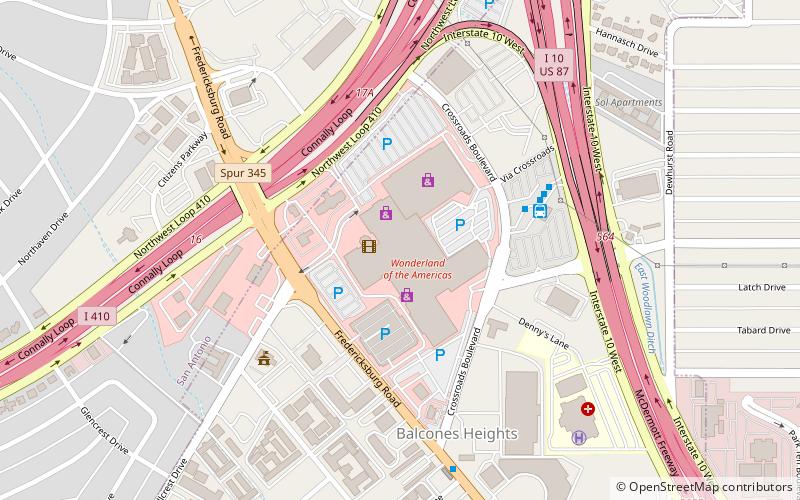
Nearby attractions include: North Star Mall, Alamo Quarry Market, Basilica of the National Shrine of the Little Flower, Wonderland of the Americas.


Frequently Asked Questions (FAQ)
How to get to Balcones Heights by public transport?
The nearest stations to Balcones Heights:
Bus
Bus
- Crossroads Station • Lines: 100 (4 min walk)
- Crossroads Park & Ride (7 min walk)