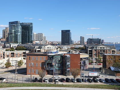
Riverside Park, Baltimore
Map
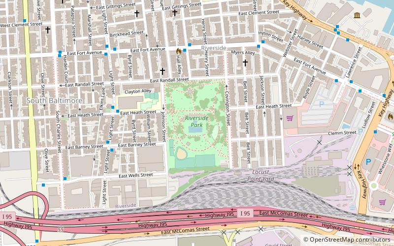
Map

Facts and practical information
Riverside Park is a nearly 17-acre public park located in the historic Riverside neighborhood in Baltimore, Maryland. ()
Created: 1876Elevation: 69 ft a.s.l.Coordinates: 39°16'13"N, 76°36'28"W
Address
1800 Covington StSouthern Baltimore (Riverside)Baltimore 21230-4758
Contact
+1 410-396-7931
Social media
Add
Day trips
Riverside Park – popular in the area (distance from the attraction)
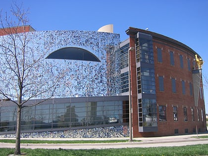
Nearby attractions include: M&T Bank Stadium, Baltimore Heritage Walk, Maryland Science Center, American Visionary Art Museum.
Frequently Asked Questions (FAQ)
Which popular attractions are close to Riverside Park?
Nearby attractions include South Baltimore, Baltimore (8 min walk), Baltimore Museum of Industry, Baltimore (12 min walk), Holy Cross Roman Catholic Church, Baltimore (12 min walk), Harborview, Baltimore (13 min walk).
How to get to Riverside Park by public transport?
The nearest stations to Riverside Park:
Bus
Light rail
Train
Bus
- Fort Avenue • Lines: Purple (10 min walk)
- Jackson Street • Lines: Banner (10 min walk)
Light rail
- Stadium/Federal Hill • Lines: Lr (23 min walk)
- Camden Yards • Lines: Lr (28 min walk)
Train
- Baltimore Camden Station (29 min walk)


