Copper Creek Falls, Eagle Cap Wilderness

Map
Facts and practical information
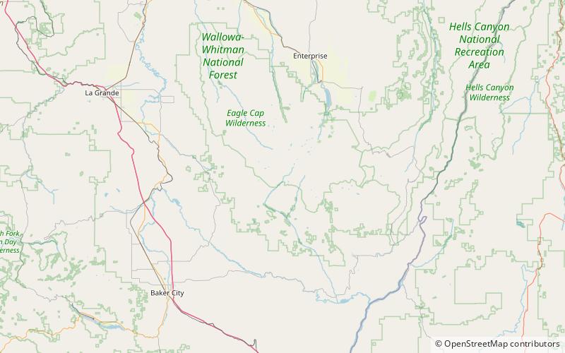
Copper Creek Falls is a waterfall from Copper Creek, just before it empties into Eagle Creek at Bench Canyon, in Union County, Oregon. Access to Copper Creek Falls is from a trail that parallels the river for over 15 mi. ()
Coordinates: 45°5'38"N, 117°23'6"W
Address
Eagle Cap Wilderness
ContactAdd
Social media
Add
Day trips
Copper Creek Falls – popular in the area (distance from the attraction)
Nearby attractions include: Eagle Cap, Benson Glacier, Minam National Forest.


