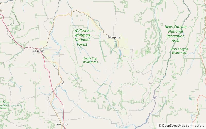
Eagle Cap, Eagle Cap Wilderness
Map
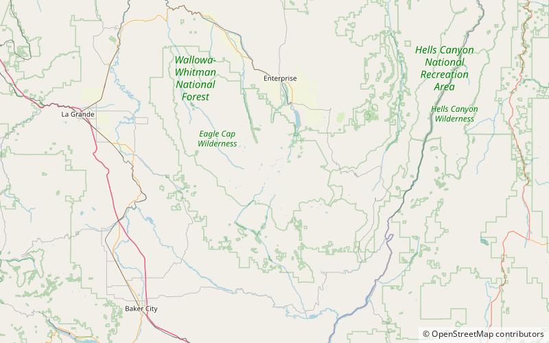
Map

Facts and practical information
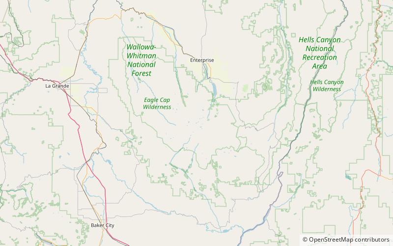
Eagle Cap (9,577 feet is a mountain peak located in the Wallowa Mountains, Wallowa–Whitman National Forest, in the U.S. state of Oregon. The peak is in the Eagle Cap Wilderness and the Benson Glacier is along the east flank of the summit ridge. Its summit is the highest point in Union County ()
Elevation: 9577 ftProminence: 1212 ftCoordinates: 45°9'49"N, 117°18'7"W
Address
Eagle Cap Wilderness
ContactAdd
Social media
Add
Day trips
Eagle Cap – popular in the area (distance from the attraction)
Nearby attractions include: Ice Lake, Aneroid Lake, Sacajawea Peak, Mirror Lake.


