Verendrye Site, Fort Pierre

Gallery (1)
Map
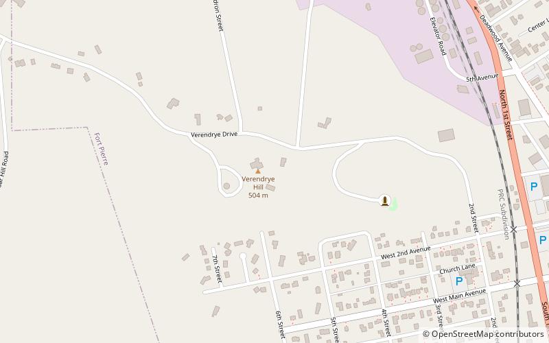
Map
Facts and practical information
The Verendrye Site is an historical archaeological site off Verendrye Drive in Fort Pierre, Stanley County, South Dakota, United States. Now a small public park, it is the place where the La Vérendrye brothers, the first known Europeans to explore this area, placed a lead plate bearing the crest of France, to claim the territory for their homeland, during their 1742-43 expedition to the Rocky Mountains. ()
Coordinates: 44°21'22"N, 100°22'55"W
Address
Fort Pierre
ContactAdd
Social media
Add
Day trips