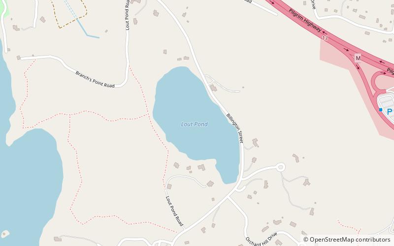
Lout Pond, Plymouth
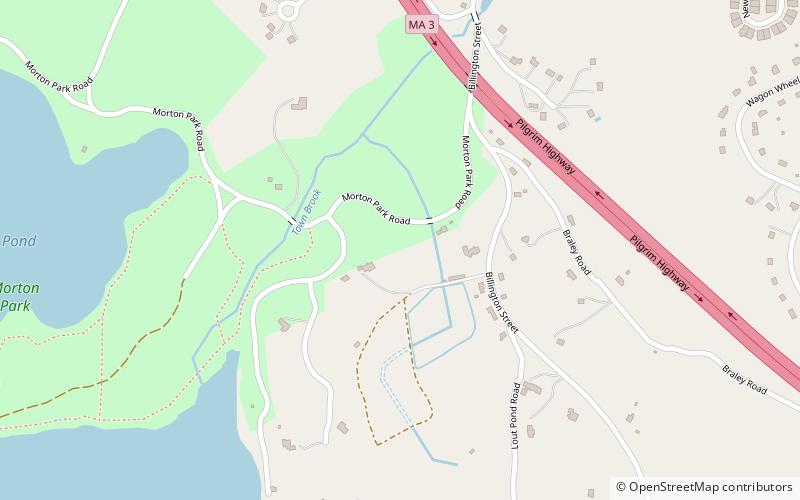
Map
Facts and practical information
Lout Pond is an 18-acre kettlehole pond in Plymouth, Massachusetts, east of Billington Sea, southeast of Morton Park, and northwest of Cooks Pond. The pond has an average depth of 19 feet and a maximum depth of 36 feet. The northern and southern shores have been developed extensively. Cranberry bogs are along the western shore, and Billington Street runs along the eastern shore. Parking is available along the side of the road; however, due to the steep bank only canoes and car top boats can be launched, electric motors only. ()
Maximum depth: 36 ftElevation: 85 ft a.s.l.Coordinates: 41°56'8"N, 70°40'16"W
Address
Plymouth
ContactAdd
Social media
Add
Day trips


Frequently Asked Questions (FAQ)
Which popular attractions are close to Lout Pond?
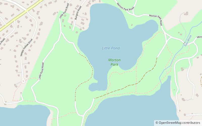
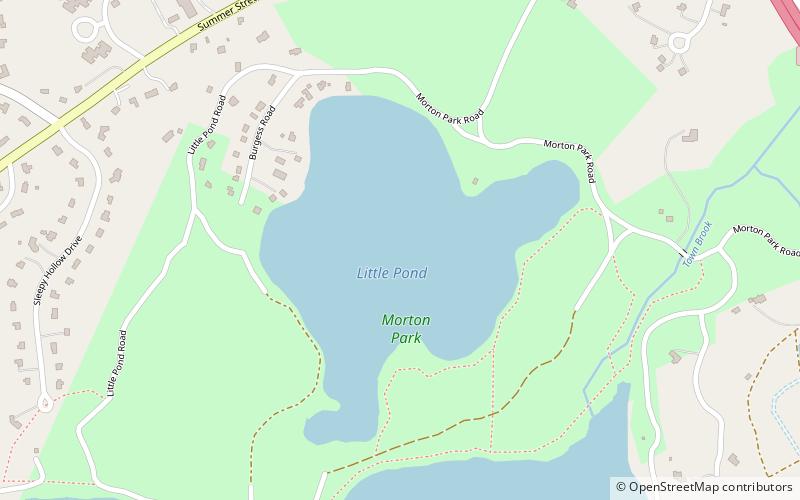
Nearby attractions include Billington Sea, Plymouth (14 min walk), Morton Park, Plymouth (22 min walk), Little Pond, Plymouth (22 min walk), Plymouth Public Library, Plymouth (23 min walk).