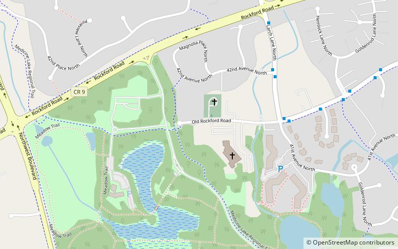
Three Rivers Park District - French Regional Park, Plymouth
Map

Map

Facts and practical information
Three Rivers Park District - French Regional Park (address: 12605 Rockford Rd) is a place located in Plymouth (Minnesota state) and belongs to the category of nature and wildlife, park, relax in park.
It is situated at an altitude of 912 feet, and its geographical coordinates are 45°1'44"N latitude and 93°26'13"W longitude.
Among other places and attractions worth visiting in the area are: New Hope (city, 73 min walk), Crystal (city, 101 min walk), Golden Valley (city, 107 min walk).
Elevation: 912 ft a.s.l.Coordinates: 45°1'44"N, 93°26'13"W
Day trips
Three Rivers Park District - French Regional Park – popular in the area (distance from the attraction)
Nearby attractions include: Ridgedale Center, The Shoppes at Arbor Lakes, Brownie Lake, Brookland Golf Park.
Frequently Asked Questions (FAQ)
When is Three Rivers Park District - French Regional Park open?
Three Rivers Park District - French Regional Park is open:
- Monday 5 am - 10 pm
- Tuesday 5 am - 10 pm
- Wednesday 5 am - 10 pm
- Thursday 5 am - 10 pm
- Friday 5 am - 10 pm
- Saturday 5 am - 10 pm
- Sunday 5 am - 10 pm


