Hosford-Abernethy, Portland

Map
Facts and practical information
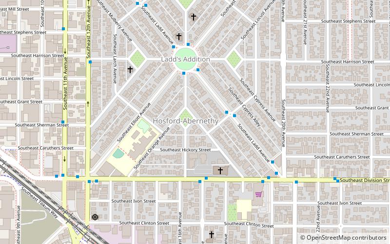
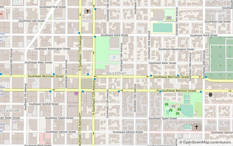
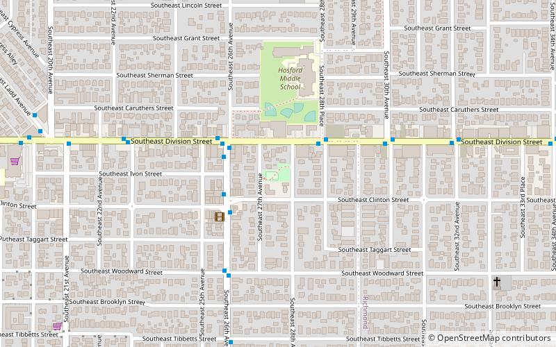
Hosford-Abernethy is a neighborhood in the inner Southeast section of Portland, Oregon. It borders Buckman and Sunnyside on the north, Richmond on the east, Brooklyn and Creston-Kenilworth on the south, and Downtown Portland and South Portland on the west. ()
Coordinates: 45°30'24"N, 122°38'56"W
Day trips
Hosford-Abernethy – popular in the area (distance from the attraction)
Nearby attractions include: Holocene, Aalto Lounge, St. Sharbel Maronite Catholic Church, Buckman.
Frequently Asked Questions (FAQ)
Which popular attractions are close to Hosford-Abernethy?
Nearby attractions include Ladd's Addition, Portland (4 min walk), Mizpah Presbyterian Church of East Portland, Portland (4 min walk), St. Sharbel Maronite Catholic Church, Portland (6 min walk), Baerlic Brewing Co., Portland (8 min walk).
How to get to Hosford-Abernethy by public transport?
The nearest stations to Hosford-Abernethy:
Bus
Light rail
Tram
Bus
- Southeast Ladd & Lavender • Lines: 10 (2 min walk)
- Southeast Division & 17th • Lines: 2 (4 min walk)
Light rail
- Clinton Street/Southeast 12th Avenue • Lines: Orange (9 min walk)
- OMSI/Southeast Water • Lines: Orange (17 min walk)
Tram
- Southeast Grand & Mill • Lines: B (16 min walk)
- Southeast Martin Luther King & Mill • Lines: A (17 min walk)


