Rhine–Lafayette Pedestrian Overpass, Portland
Map

Gallery

Facts and practical information
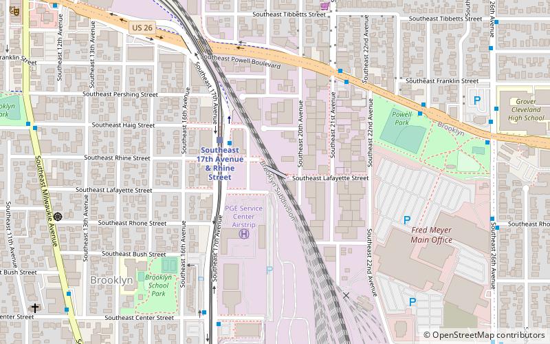
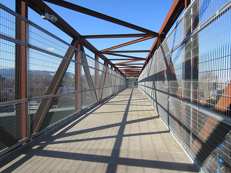
The Rhine–Lafayette Pedestrian Overpass is a pedestrian bridge near TriMet's Southeast 17th Avenue and Rhine Street station in southeast Portland, Oregon. It opened in September 2015, replacing a bridge which had spanned the Union Pacific Railroad tracks since 1943. Worked on the bridge began in 2014, and the span was lifted into place in December. Elevator improvements were completed in 2018. Along These Lines is installed at one end. ()
Coordinates: 45°29'50"N, 122°38'47"W
Address
Southeast Uplift (Brooklyn)Portland
ContactAdd
Social media
Add
Day trips
Rhine–Lafayette Pedestrian Overpass – popular in the area (distance from the attraction)
Nearby attractions include: St. Sharbel Maronite Catholic Church, Bagdad Theatre, Sewallcrest Park, Hawthorne Theatre.
Frequently Asked Questions (FAQ)
Which popular attractions are close to Rhine–Lafayette Pedestrian Overpass?
Nearby attractions include Gideon Overcrossing, Portland (11 min walk), Aladdin Theater, Portland (12 min walk), Mizpah Presbyterian Church of East Portland, Portland (15 min walk), Clinton Street Theater, Portland (15 min walk).
How to get to Rhine–Lafayette Pedestrian Overpass by public transport?
The nearest stations to Rhine–Lafayette Pedestrian Overpass:
Bus
Light rail
Tram
Bus
- Southeast 17th & Rhine • Lines: 17, 291, 70 (3 min walk)
- Southeast Powell & 21st • Lines: 66, 9 (5 min walk)
Light rail
- Southeast 17th Avenue & Rhine Street • Lines: Orange (3 min walk)
- Clinton Street/Southeast 12th Avenue • Lines: Orange (13 min walk)
Tram
- Southeast Water/OMSI • Lines: A, B (28 min walk)
- Southeast Grand & Mill • Lines: B (29 min walk)


