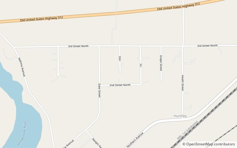
Huntley Project, Huntley

Map
Facts and practical information
The Huntley Project is an irrigation project in southern Montana that was established by the United States Bureau of Reclamation in 1907. The district includes the towns of Huntley, Worden, Ballantine, and Pompeys Pillar. ()
Coordinates: 45°54'5"N, 108°18'22"W
Address
Huntley
ContactAdd
Social media
Add