Portland Yamhill Historic District, Portland
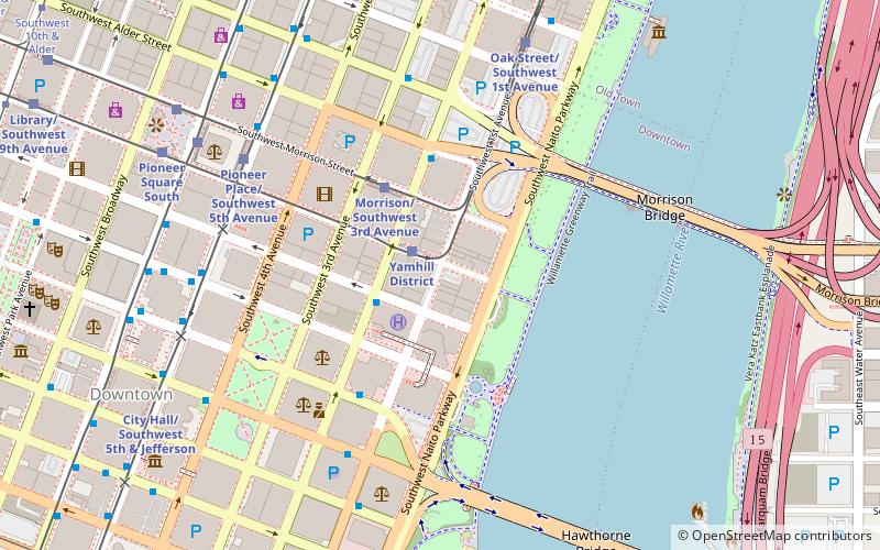
Map

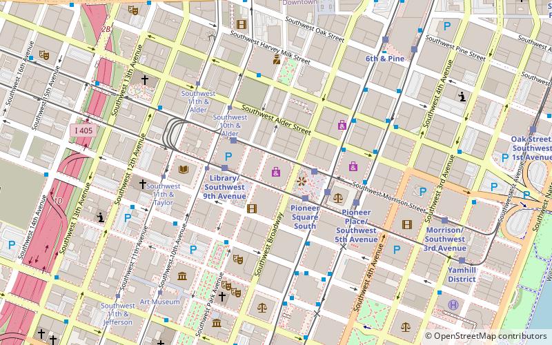
Map

Facts and practical information
The Portland Yamhill Historic District, located in downtown Portland, Oregon, is listed on the National Register of Historic Places. ()
Coordinates: 45°31'1"N, 122°40'26"W
Address
Downtown PortlandPortland
ContactAdd
Social media
Add
Day trips
Portland Yamhill Historic District – popular in the area (distance from the attraction)
Nearby attractions include: Pioneer Place, Silverado, Nordstrom, Mill Ends Park.
Frequently Asked Questions (FAQ)
Which popular attractions are close to Portland Yamhill Historic District?
Nearby attractions include World Trade Center, Portland (2 min walk), Mill Ends Park, Portland (2 min walk), The Oregonian, Portland (3 min walk), Ira F. Powers Building, Portland (3 min walk).
How to get to Portland Yamhill Historic District by public transport?
The nearest stations to Portland Yamhill Historic District:
Light rail
Bus
Tram
Train
Light rail
- Yamhill District • Lines: Blue, Red (1 min walk)
- Morrison/Southwest 3rd Avenue • Lines: Blue, Red (3 min walk)
Bus
- Southwest 2nd & Taylor • Lines: 15, 51 (2 min walk)
- Southwest 2nd & Alder • Lines: 15 (3 min walk)
Tram
- Southwest Market & 5th • Lines: B, Ns (12 min walk)
- Central Library • Lines: A, Ns (12 min walk)
Train
- Portland Union Station (22 min walk)


