Cambridge, Boston
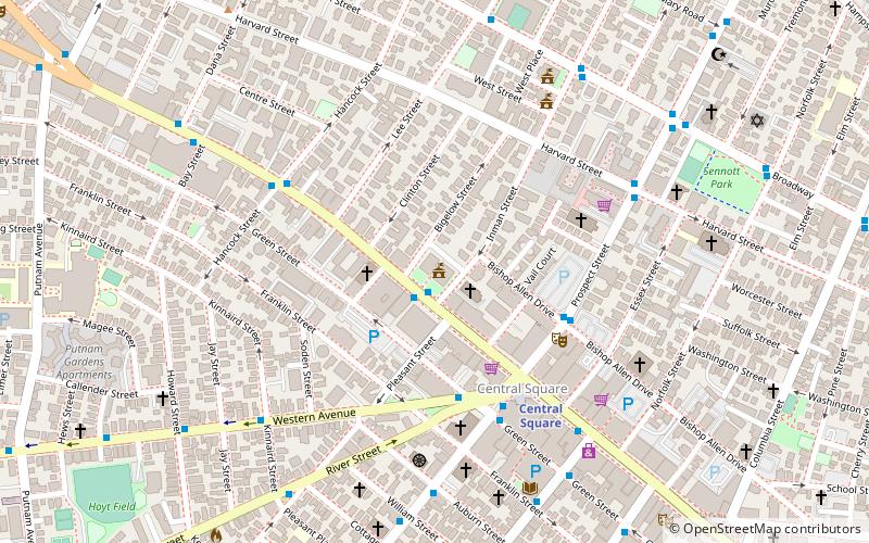
Map
Gallery
Facts and practical information
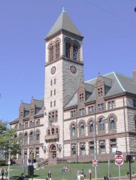
The Cambridge, Massachusetts City Hall is the city hall for Cambridge, Massachusetts, located at 795 Massachusetts Avenue, and built in the Richardsonian Romanesque style. The building additionally serves as a centerpiece of the surrounding City Hall Historic District and adjacent Central Square Historic District. ()
Coordinates: 42°22'2"N, 71°6'21"W
Address
795 Massachusetts AveCambridge (Mid-Cambridge)Boston
ContactAdd
Social media
Add
Day trips
Cambridge – popular in the area (distance from the attraction)
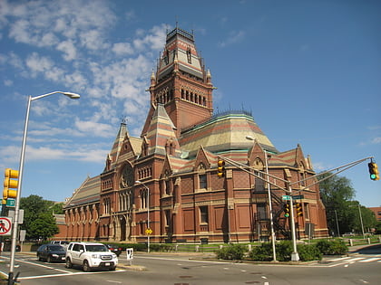
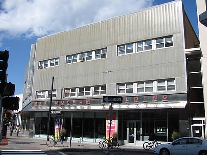
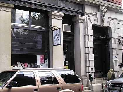
Nearby attractions include: Memorial Hall, MIT Museum, Grolier Poetry Bookshop, Christ the King Presbyterian Church.
Frequently Asked Questions (FAQ)
Which popular attractions are close to Cambridge?
Nearby attractions include City Hall Historic District, Boston (1 min walk), Central House, Boston (2 min walk), Bigelow Street Historic District, Boston (3 min walk), Central Square, Boston (3 min walk).
How to get to Cambridge by public transport?
The nearest stations to Cambridge:
Bus
Metro
Light rail
Bus
- Massachusetts Ave @ Pleasant St • Lines: 1 (1 min walk)
- Western Ave @ Green St • Lines: 91 (4 min walk)
Metro
- Central Square • Lines: Red (5 min walk)
- Harvard • Lines: Red (22 min walk)
Light rail
- Boston University Central • Lines: B (31 min walk)
- Amory Street • Lines: B (31 min walk)

 MBTA Subway