Passaic Street Bridge, Passaic
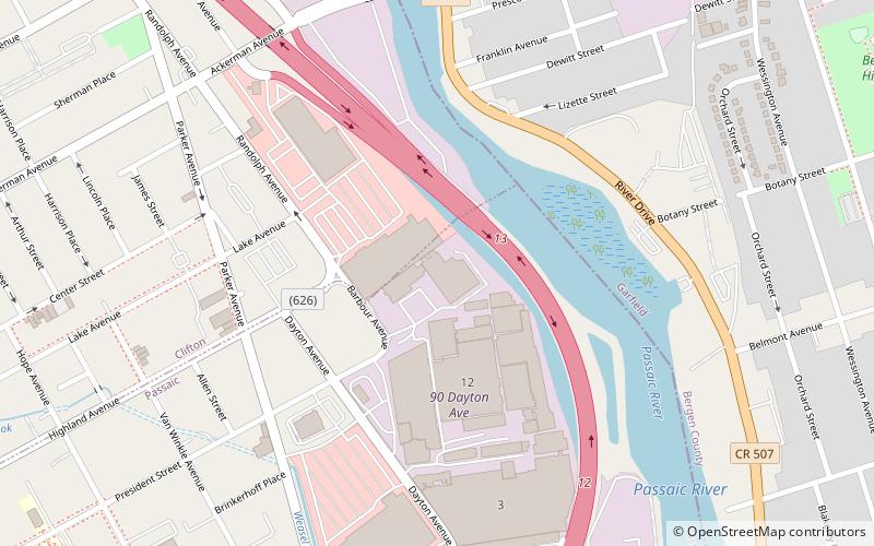
Map
Facts and practical information
The Passaic Street Bridge is a vehicular bridge crossing the Passaic River in Passaic and Garfield, New Jersey. The girder bridge was built in 1898 and is the third to span the river at that point. It is considered eligible for listing on the New Jersey Register of Historic Places National Register of Historic Places. ()
Opened: 1898 (128 years ago)Length: 233 ftWidth: 28 ftCoordinates: 40°52'32"N, 74°7'10"W
Address
PassaicPassaic
ContactAdd
Social media
Add
Getting there by public transportation
Public transportation stops near this location
- Bus
- Train
 Bus
Bus
- Calculate routeGarfield 25 min walk
- Calculate routePlauderville 28 min walk
- Calculate routeMain Avenue Terminal 25 min walk
Day trips


Frequently Asked Questions (FAQ)
Which popular attractions are close to Passaic Street Bridge?
Nearby attractions include Botany Worsted Mills Historic District, Passaic (4 min walk), Dundee Canal, Passaic (6 min walk), Monroe Street Bridge, Passaic (15 min walk), St. John's Evangelical Lutheran Church, Passaic (18 min walk).
How to get to Passaic Street Bridge by public transport?
The nearest stations to Passaic Street Bridge:
Train
Bus
Train
- Garfield (25 min walk)
- Plauderville (28 min walk)
Bus
- Main Avenue Terminal (25 min walk)