Old Village Historic District, Monroe
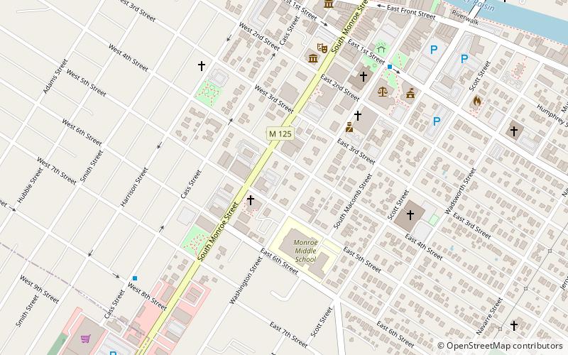
Map

Gallery

Facts and practical information
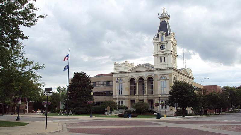
The Old Village Historic District is a commercial and residential historic district consisting of the downtown area of the city of Monroe in Monroe County, Michigan. The district was listed as a Michigan Historic Site and added to the National Register of Historic Places on May 6, 1982. ()
Coordinates: 41°54'45"N, 83°24'0"W
Address
Central MonroeMonroe
ContactAdd
Social media
Add
Day trips
Old Village Historic District – popular in the area (distance from the attraction)
Nearby attractions include: River Raisin National Battlefield Park, George Armstrong Custer Equestrian Monument, Monroe County Museum, St. Mary's Church Complex Historic District.
Frequently Asked Questions (FAQ)
Which popular attractions are close to Old Village Historic District?
Nearby attractions include Monroe County Museum, Monroe (5 min walk), The River Raisin Centre for the Arts, Monroe (6 min walk), Sawyer House, Monroe (10 min walk), George Armstrong Custer Equestrian Monument, Monroe (11 min walk).
How to get to Old Village Historic District by public transport?
The nearest stations to Old Village Historic District:
Bus
Bus
- Washington & 1st • Lines: 2, 3, 4, 5, 6, 7, 8 (7 min walk)
- 8th & Cass • Lines: 4 (8 min walk)


