Wing–Allore House, Monroe
Map

Map

Facts and practical information
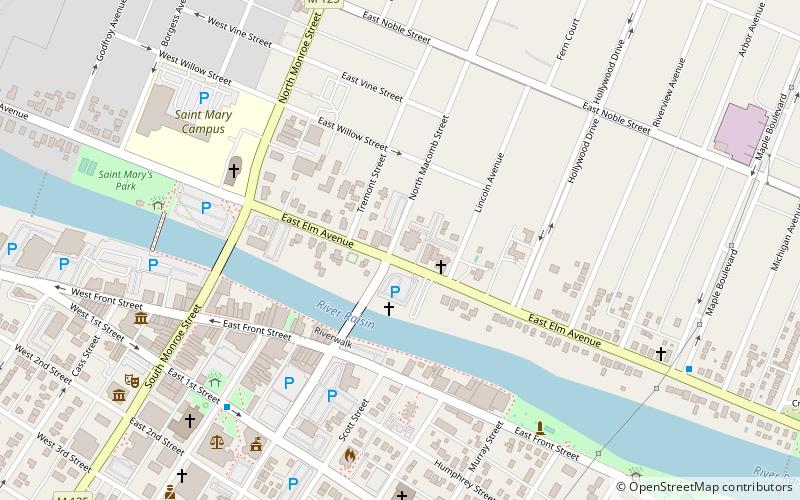
The Wing–Allore House is a funeral home located at 203 E. Elm Avenue in Monroe. The house was built as a private home, converted to a funeral home in the 1930s, and remains in business as the Allore Chapel of the Martenson Family of Funeral Homes. It was added to the National Register of Historic Places in 2014. ()
Coordinates: 41°55'3"N, 83°23'35"W
Address
Northeast MonroeMonroe
ContactAdd
Social media
Add
Day trips
Wing–Allore House – popular in the area (distance from the attraction)
Nearby attractions include: River Raisin National Battlefield Park, George Armstrong Custer Equestrian Monument, Monroe County Museum, St. Mary's Church Complex Historic District.
Frequently Asked Questions (FAQ)
Which popular attractions are close to Wing–Allore House?
Nearby attractions include Governor Robert McClelland House, Monroe (2 min walk), East Elm–North Macomb Street Historic District, Monroe (5 min walk), George Armstrong Custer Equestrian Monument, Monroe (5 min walk), Sawyer House, Monroe (5 min walk).
How to get to Wing–Allore House by public transport?
The nearest stations to Wing–Allore House:
Bus
Bus
- Washington & 1st • Lines: 2, 3, 4, 5, 6, 7, 8 (7 min walk)
- Elm & Maple • Lines: 6 (9 min walk)


