Oyster Bay Regional Shoreline, San Leandro

Map
Facts and practical information
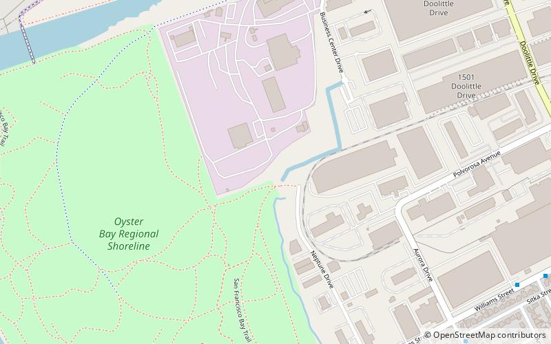
Oyster Bay Regional Shoreline is a park in San Leandro, California, part of the East Bay Regional Park District. It is located along the eastern shore of San Francisco Bay directly to the south of Oakland International Airport. The property was originally used as a landfill for 37 years, until it was filled to capacity in 1977, when it was capped with a clay cover. EBRPD bought the property in 1980, intending to use it as a park. ()
Created: 1980Elevation: 10 ft a.s.l.Coordinates: 37°42'35"N, 122°11'35"W
Day trips
Oyster Bay Regional Shoreline – popular in the area (distance from the attraction)
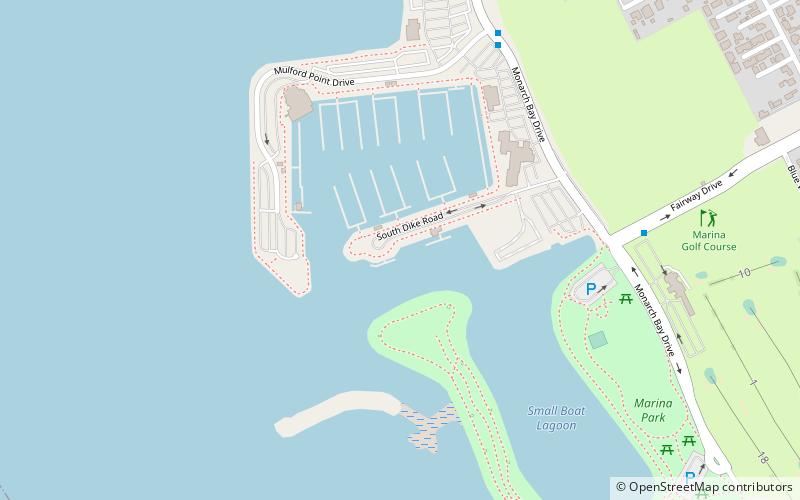
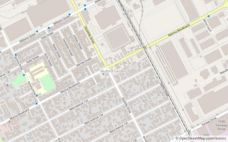
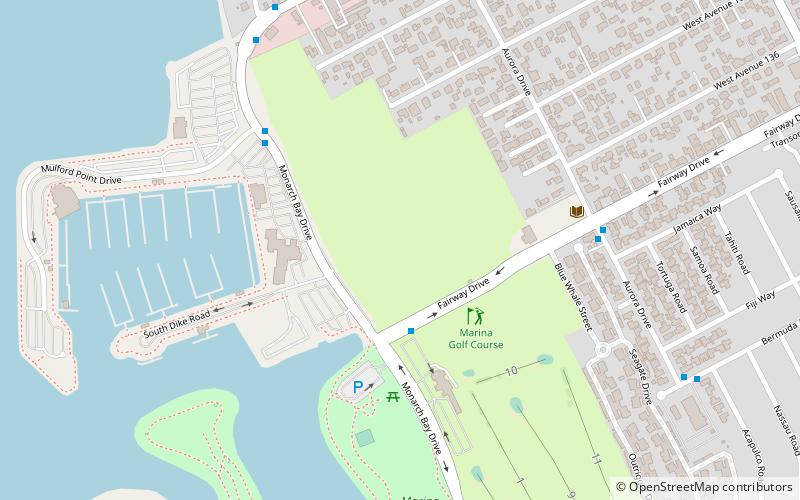
Nearby attractions include: Mulford, Metropolitan Golf Links, 21st Amendment Brewery, Mulford Gardens.
Frequently Asked Questions (FAQ)
How to get to Oyster Bay Regional Shoreline by public transport?
The nearest stations to Oyster Bay Regional Shoreline:
Bus
Train
Bus
- Aurora Drive & Sitka Street • Lines: 35 (12 min walk)
- Williams Street & Nome Street • Lines: 35 (13 min walk)
Train
- Oakland International Airport (28 min walk)


