Mulford Landing, San Leandro
Map
Facts and practical information
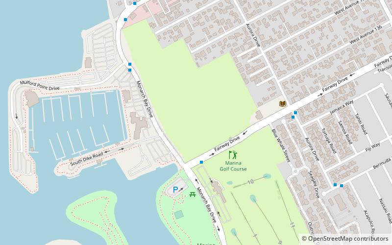
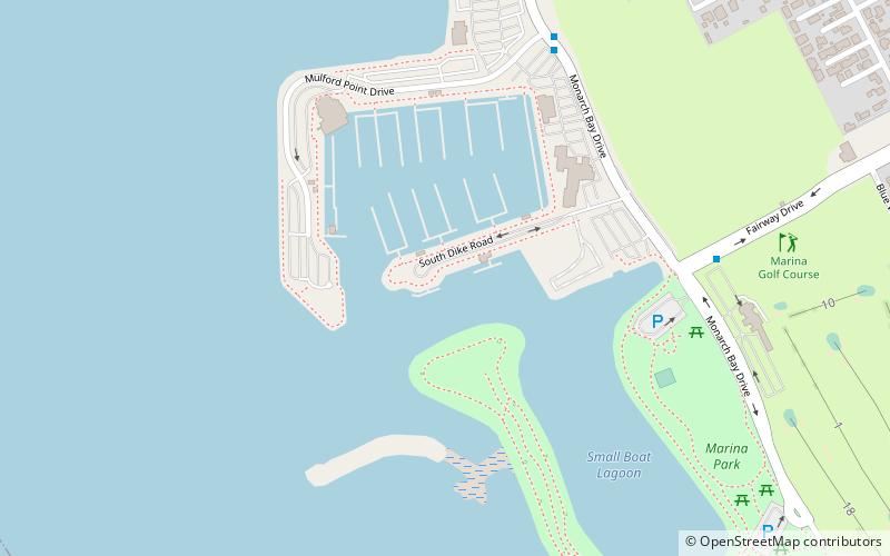
Mulford Landing is a neighborhood in San Leandro in Alameda County, California. It was formerly an unincorporated community. It southwest of Mulford Gardens, on San Francisco Bay. The San Leandro Marina city park and shoreline is located in this neighborhood as well as the Shoreline Recreation area, which hosts restaurants, boat launches, a hotel and a golf course. ()
Coordinates: 37°41'50"N, 122°11'10"W
Address
San Leandro (Mulford Gardens)San Leandro
ContactAdd
Social media
Add
Getting there by public transportation
Public transportation stops near this location
- Bus
 Bus
Bus
- Calculate routeFairway Drive & Monarch Bay Drive 3 min walk
- Calculate routeAurora Drive & Fairway Drive 7 min walk
- Calculate routeMonarch Bay Drive & Neptune Drive 8 min walk
Day trips
Mulford Landing – popular in the area (distance from the attraction)
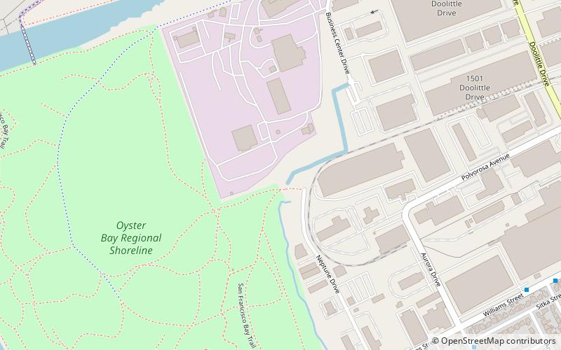
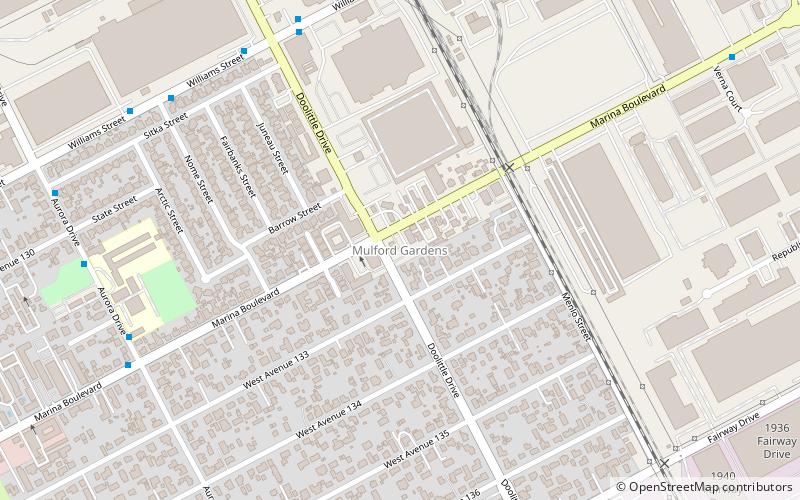
Nearby attractions include: Mulford, Oyster Bay Regional Shoreline, 21st Amendment Brewery, Mulford Gardens.

Frequently Asked Questions (FAQ)
Which popular attractions are close to Mulford Landing?
Nearby attractions include Mulford, San Leandro (8 min walk), Mulford Gardens, San Leandro (16 min walk).
How to get to Mulford Landing by public transport?
The nearest stations to Mulford Landing:
Bus
Bus
- Fairway Drive & Monarch Bay Drive • Lines: 35 (3 min walk)
- Aurora Drive & Fairway Drive • Lines: 35 (7 min walk)