Starvation Creek Falls, Hood River
Map

Map

Facts and practical information
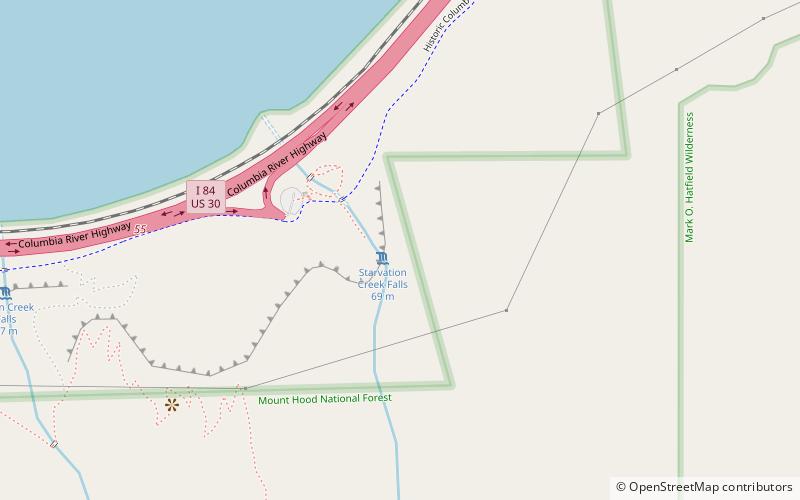
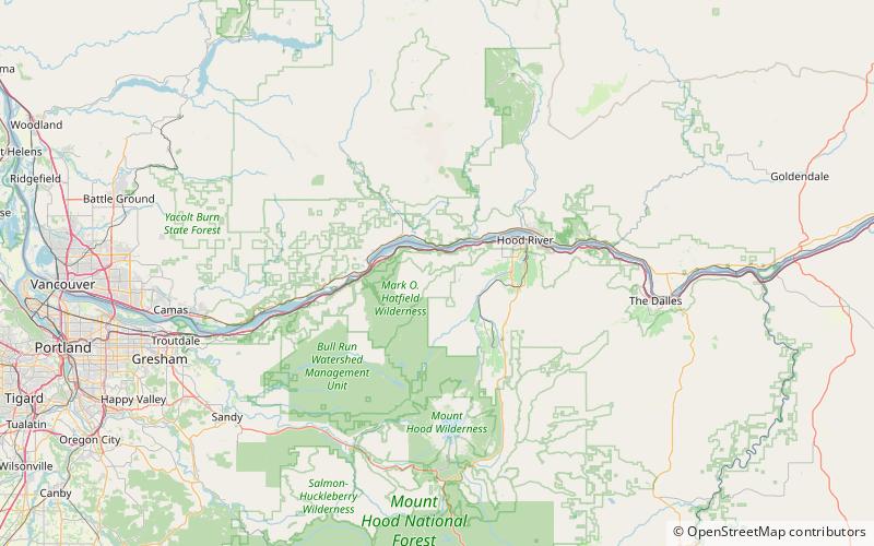
Starvation Creek Falls, is a two tier waterfall located in the Starvation Creek State Park at the north skirt of the Columbia River Gorge, in Hood River County, in the U.S. state of Oregon. It is located in a privileged area along the Historic Columbia River Highway, where four waterfalls are located in the Starvation Creek State Park: Cabin Creek Falls, Hole In the Wall Falls, Lancaster Falls, and Starvation Creek Falls—all within 2 miles from each other. ()
Coordinates: 45°41'16"N, 121°41'17"W
Address
Hood River
ContactAdd
Social media
Add
Day trips
Starvation Creek Falls – popular in the area (distance from the attraction)
Nearby attractions include: Hole-in-the-Wall Falls, Mount Defiance, Camp Benson Falls, Dog Mountain.


