Mount Defiance, Mount Hood National Forest
Map

Map

Facts and practical information
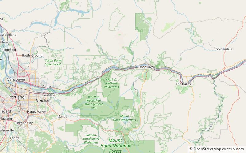
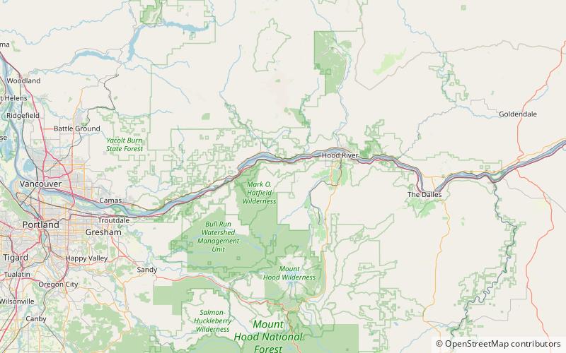
Mount Defiance is a peak near the Columbia River Gorge in the US state of Oregon. It rises to an elevation of 5,010 feet in the Mark O. Hatfield Wilderness on the Mount Hood National Forest. The peak is in Hood River County, Oregon. The route up the mountain is often considered one of the hardest climbs in the Gorge; the trail gains 5,000 feet in 6 miles from the Starvation Creek Trailhead. ()
Elevation: 5010 ftProminence: 1520 ftCoordinates: 45°38'54"N, 121°43'19"W
Address
Mount Hood National Forest
ContactAdd
Social media
Add
Day trips
Mount Defiance – popular in the area (distance from the attraction)
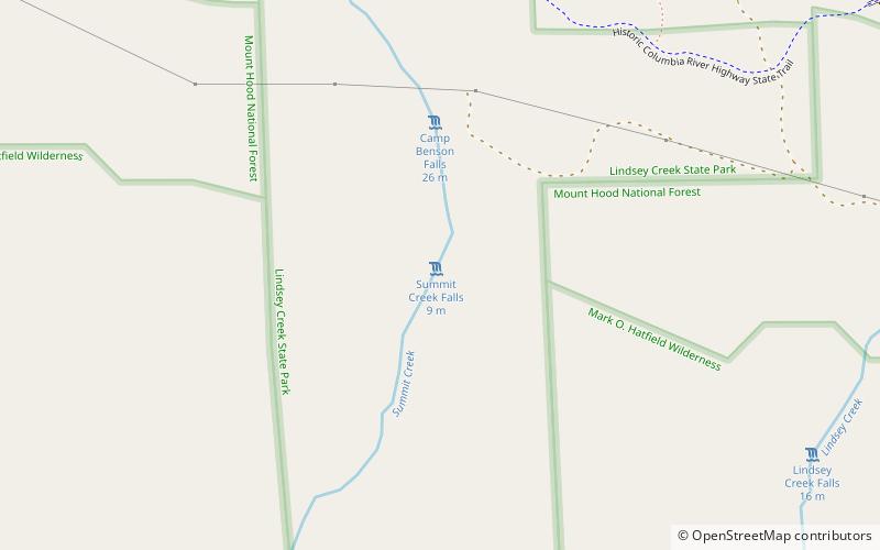
Nearby attractions include: Starvation Creek Falls, Hole-in-the-Wall Falls, Camp Benson Falls, Dog Mountain.


