Upper Green Valley, Anza-Borrego Desert State Park

Map
Facts and practical information
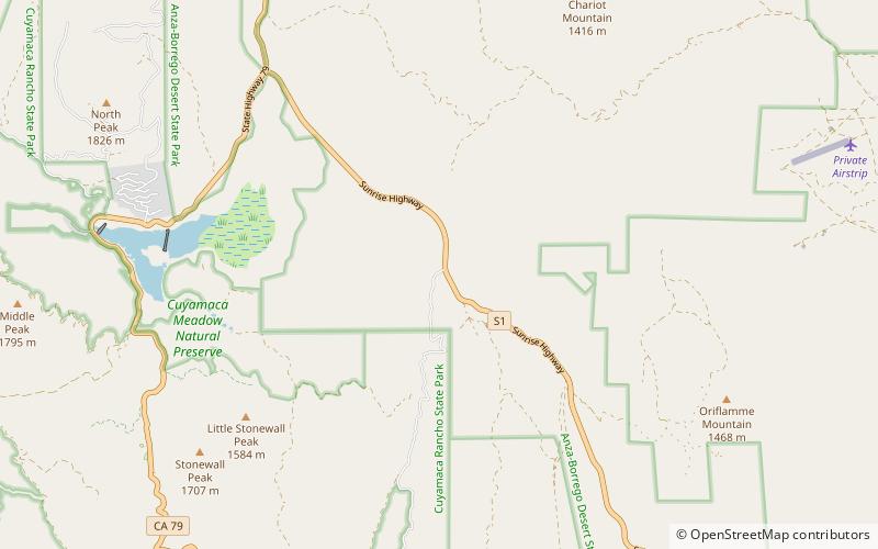
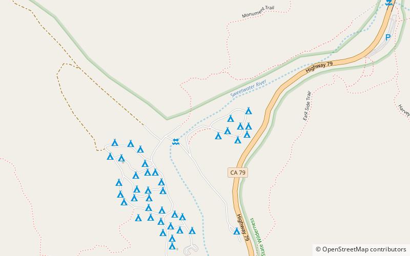
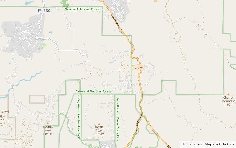
Upper Green Valley is a valley in the Cuyamaca Mountains in San Diego County, California. Its mouth lies at an elevation of 4,163 feet / 1,269 meters. Its head is at 32°59′03″N 116°32′01″W, at an elevation of 4,890 feet. The Sweetwater River has its source at the top of Upper Green Valley. ()
Coordinates: 32°59'3"N, 116°32'2"W
Address
Anza-Borrego Desert State Park
ContactAdd
Social media
Add
Day trips
Upper Green Valley – popular in the area (distance from the attraction)
Nearby attractions include: Cuyamaca Peak, Stonewall Peak, Green Valley, Cuyamaca Mountains.


