Cuyamaca Mountains, Cuyamaca Rancho State Park
Map

Map

Facts and practical information
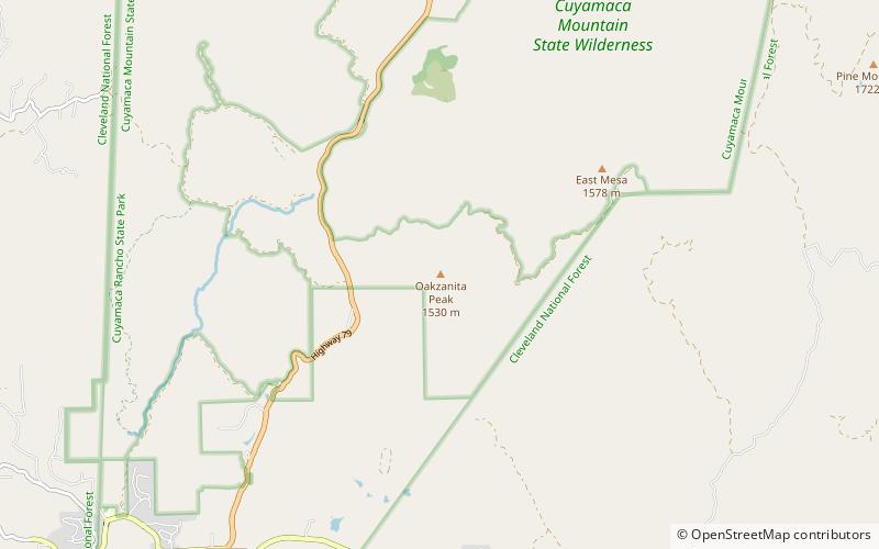
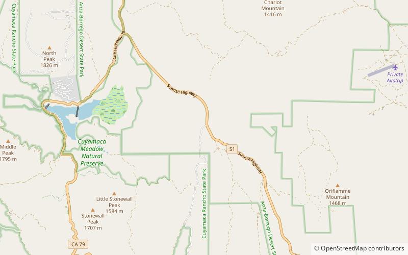
The Cuyamaca Mountains, locally the Cuyamacas, are a mountain range of the Peninsular Ranges System, in San Diego County, southern California. The mountain range runs roughly northwest to southeast. The Laguna Mountains are directly adjacent to the east, with Palomar Mountain and Hot Springs Mountain more distant to the north. ()
Maximum elevation: 6512 ftCoordinates: 32°56'31"N, 116°36'14"W
Address
Cuyamaca Rancho State Park
ContactAdd
Social media
Add
Day trips
Cuyamaca Mountains – popular in the area (distance from the attraction)
Nearby attractions include: Cuyamaca Peak, Stonewall Peak, Oakzanita Peak, Green Valley.


