UC Davis Health Stadium, Davis
Map
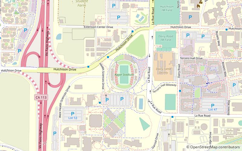
Map

Facts and practical information
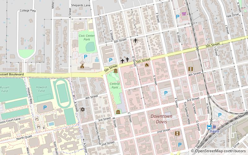
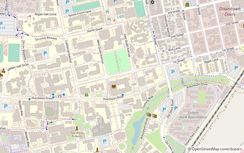
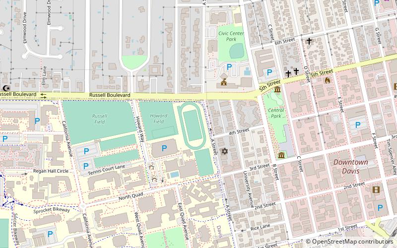
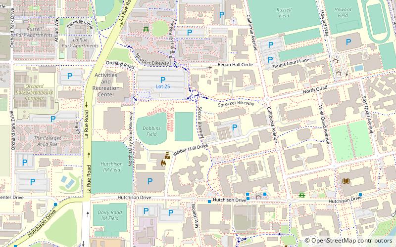
UC Davis Health Stadium is a 10,743-seat multi-purpose stadium on the University of California, Davis campus in unincorporated Yolo County, California. It opened on April 1, 2007, and is the home to the UC Davis Aggies football and women's lacrosse teams. It replaced Toomey Field. Plans call for the stadium to eventually be built out to 30,000 seats. The field at UC Davis Health Stadium is named Jim Sochor Field, after their College Football Hall of Fame coach. ()
Opened: 2007 (19 years ago)Capacity: 10.7 thous.Coordinates: 38°32'11"N, 121°45'47"W
Day trips
UC Davis Health Stadium – popular in the area (distance from the attraction)
Nearby attractions include: UC Davis Arboretum, United States Bicycling Hall of Fame, Manetti Shrem Museum of Art, Mondavi Center.
Frequently Asked Questions (FAQ)
Which popular attractions are close to UC Davis Health Stadium?
Nearby attractions include UC Davis Arboretum, Davis (13 min walk), University of California, Davis (16 min walk), Mondavi Center, Davis (20 min walk), Shields Library, Davis (21 min walk).
How to get to UC Davis Health Stadium by public transport?
The nearest stations to UC Davis Health Stadium:
Bus
Bus
- Silo Terminal (14 min walk)
- Davis • Lines: 2062 (20 min walk)


