Lincoln Heights, San Francisco
Map
Facts and practical information
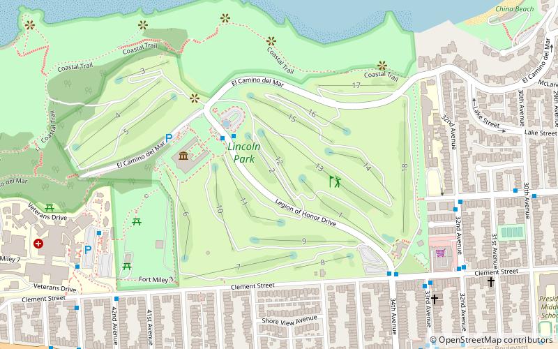
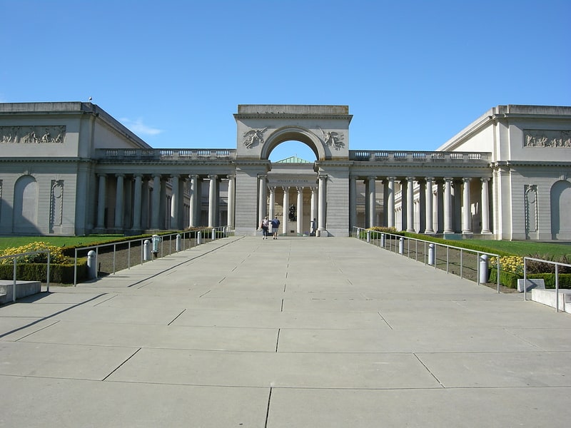
Lincoln Heights is the 24th highest peak in the city of San Francisco, California, at 380 feet. Situated in the northwestestern portion of the city, the hill has the Legion of Honor museum near its peak. Notable features include the Lincoln Park golf course, the Lands End trail system, and some residential neighborhoods in the Richmond District. ()
Coordinates: 37°47'3"N, 122°29'53"W
Address
Northwest San Francisco (Lincoln Park-Fort Miley)San Francisco
ContactAdd
Social media
Add
Getting there by public transportation
Public transportation stops near this location
- Bus
- Trolleybus
 Bus
Bus
- Calculate route32nd Avenue & California Street 8 min walk
- Calculate route33rd Avenue & Clement Street 8 min walk
- Calculate routeGeary Boulevard & 33rd Avenue 11 min walk
- Calculate routeGeary Boulevard & 36th Avenue 9 min walk
- Calculate route42nd Avenue & Clement Street 9 min walk
Maps Muni Metro
Muni MetroDay trips


Frequently Asked Questions (FAQ)
Which popular attractions are close to Lincoln Heights?
Nearby attractions include Holocaust Memorial, San Francisco (4 min walk), Legion of Honor Museum, San Francisco (5 min walk), Lincoln Manor, San Francisco (7 min walk), Lands End, San Francisco (7 min walk).
How to get to Lincoln Heights by public transport?
The nearest stations to Lincoln Heights:
Trolleybus
Bus
Trolleybus
- 32nd Avenue & California Street • Lines: 1 (8 min walk)
- 33rd Avenue & Clement Street • Lines: 1 (8 min walk)
Bus
- Geary Boulevard & 36th Avenue • Lines: 38, 38R (9 min walk)
- 42nd Avenue & Clement Street • Lines: 38 (9 min walk)