Ntelos Wireless Pavilion, Portsmouth
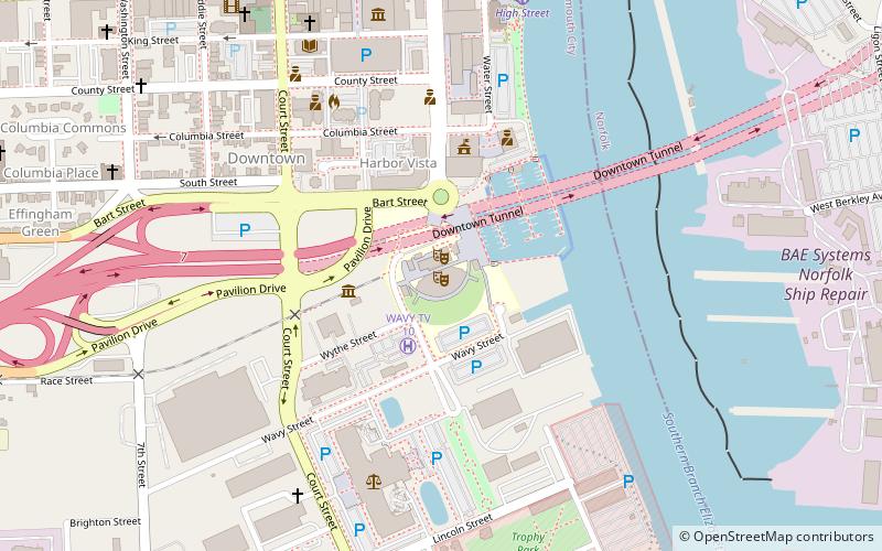
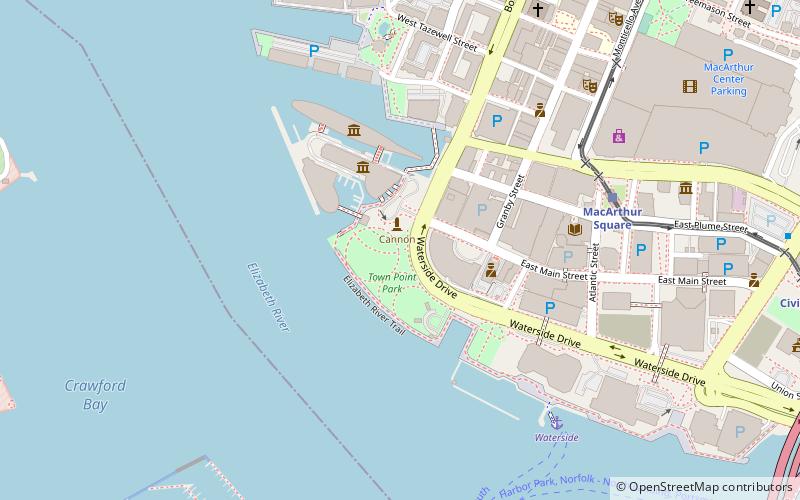
Map
Facts and practical information
The Atlantic Union Bank Pavilion is an outdoor amphitheater in Portsmouth, Virginia, United States. ()
Opened: 2001 (25 years ago)Capacity: 6500Coordinates: 36°49'51"N, 76°17'52"W
Getting there by public transportation
Public transportation stops near this location
- Light rail
- Ferry
 Light rail
- Calculate routeHigh Street 8 min walk
- Calculate routeNorth Landing 15 min walk
- Calculate routeWaterside 25 min walk
- Calculate routeMacArthur Square 31 min walk
- Calculate routeCivic Plaza 32 min walk
- Calculate routeHarbor Park 37 min walk
Day trips


Frequently Asked Questions (FAQ)
Which popular attractions are close to Ntelos Wireless Pavilion?
Nearby attractions include Pythian Castle, Portsmouth (8 min walk), Children's Museum of Virginia, Portsmouth (8 min walk), Quarters A, Portsmouth (8 min walk), Trinity Episcopal Church, Portsmouth (9 min walk).
How to get to Ntelos Wireless Pavilion by public transport?
The nearest stations to Ntelos Wireless Pavilion:
Ferry
Light rail
Ferry
- High Street • Lines: Elizabeth River Ferry (8 min walk)
- North Landing • Lines: Elizabeth River Ferry (15 min walk)
Light rail
- MacArthur Square • Lines: Tide (31 min walk)
- Civic Plaza • Lines: Tide (32 min walk)