Confederate Monument, Portsmouth
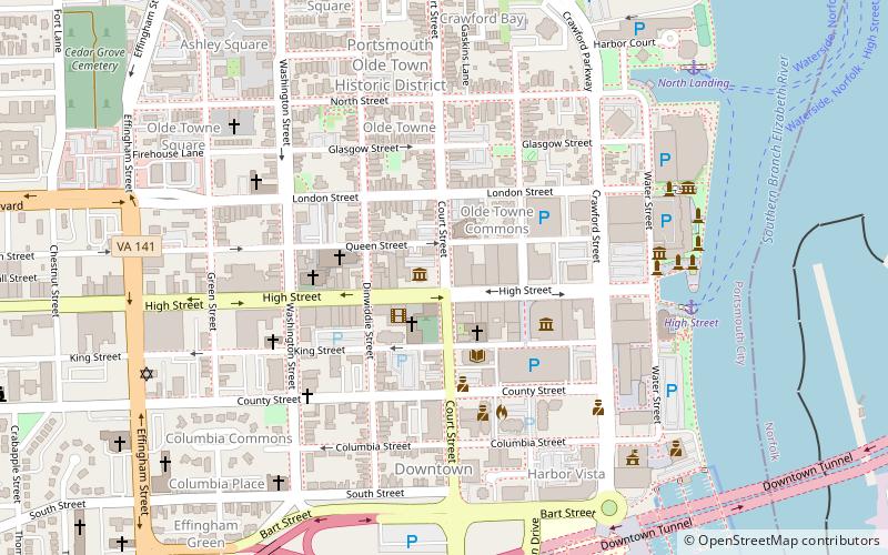
Map

Map

Facts and practical information
The Confederate Monument in Portsmouth, Virginia, was built between 1876 and 1881. It was listed on the National Register of Historic Places in 1997. ()
Built: 1876 (150 years ago)Coordinates: 36°50'8"N, 76°18'3"W
Day trips
Confederate Monument – popular in the area (distance from the attraction)
Nearby attractions include: MacArthur Center, Harbor Park, Waterside, Nauticus.
Frequently Asked Questions (FAQ)
Which popular attractions are close to Confederate Monument?
Nearby attractions include Portsmouth Courthouse, Portsmouth (2 min walk), Trinity Episcopal Church, Portsmouth (2 min walk), Commodore Theatre, Portsmouth (2 min walk), Monumental Methodist Church, Portsmouth (3 min walk).
How to get to Confederate Monument by public transport?
The nearest stations to Confederate Monument:
Ferry
Light rail
Bus
Ferry
- High Street • Lines: Elizabeth River Ferry (7 min walk)
- North Landing • Lines: Elizabeth River Ferry (9 min walk)
Light rail
- MacArthur Square • Lines: Tide (26 min walk)
- Civic Plaza • Lines: Tide (28 min walk)
Bus
- Norfolk Downtown Transit Center (36 min walk)


