Robert Louis Stevenson Memorial, San Francisco

Gallery (1)
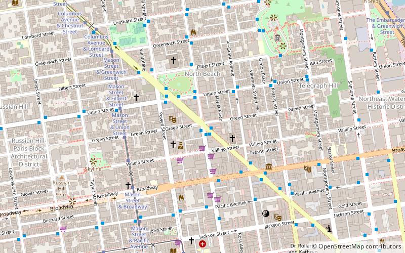
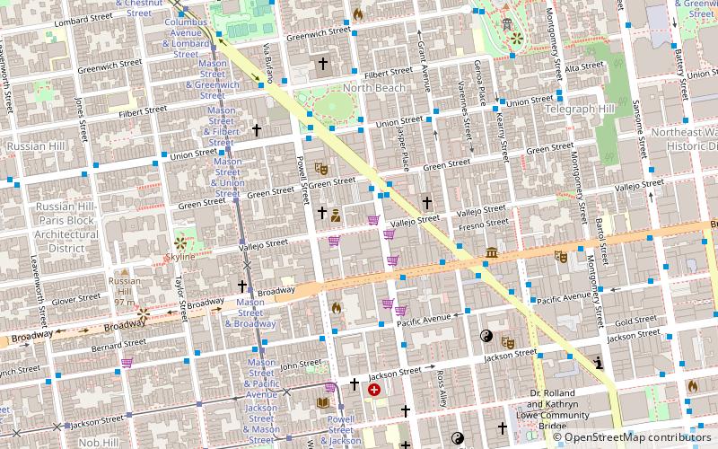
Map

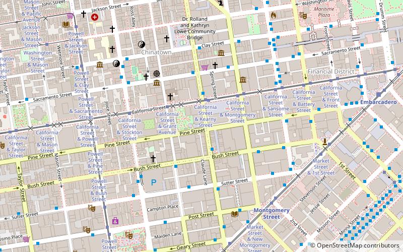
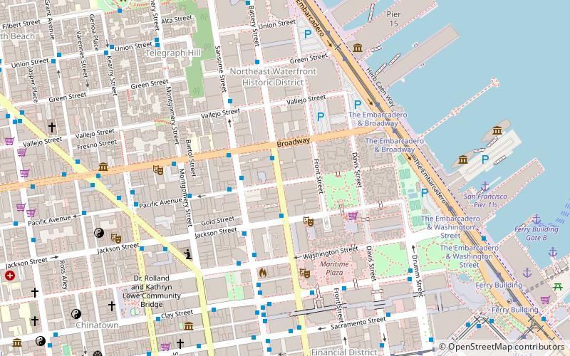
Map
Facts and practical information
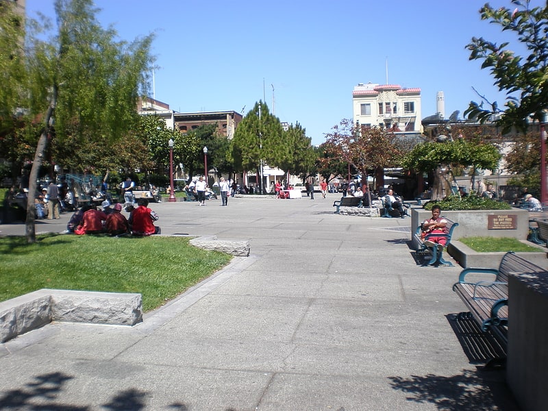
The Robert Louis Stevenson Memorial is an outdoor memorial commemorating Robert Louis Stevenson, in Portsmouth Square, San Francisco, California. ()
Coordinates: 37°47'42"N, 122°24'22"W
Getting there by public transportation
Public transportation stops near this location
- Metro
- Bus
- Trolleybus
- Tram
- Light rail
- Ferry
 Metro
Metro
- Calculate routeClay Street & Grant Avenue 2 min walk
- Calculate routeStockton Street & Washington Street 3 min walk
- Calculate routeStockton Street & Washington Street 4 min walk
- Calculate routePacific Avenue & Grant Avenue 4 min walk
- Calculate routeCalifornia Street & Grant Avenue 5 min walk
- Calculate routeCalifornia Street & Kearny Street 5 min walk
- Calculate routePowell Street & Jackson Street 6 min walk
- Calculate routePowell Street & Clay Street 6 min walk
- Calculate routeMontgomery Street 13 min walk
- Calculate routeEmbarcadero 14 min walk
- Calculate routePowell Street 19 min walk
- Calculate routeMontgomery Street 13 min walk
- Calculate routeEmbarcadero 14 min walk
- Calculate routePowell Street 19 min walk
- Calculate routeFolsom 25 min walk
- Calculate routeFerry Building Gate B 19 min walk
- Calculate routePier 41 Gate 1 27 min walk
Maps Muni Metro
Muni MetroDay trips
Robert Louis Stevenson Memorial – popular in the area (distance from the attraction)
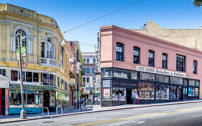
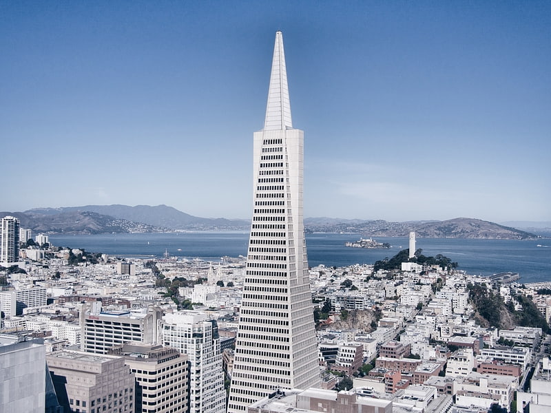
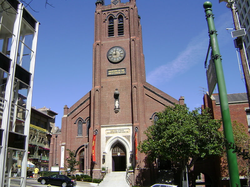
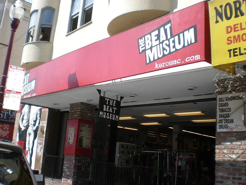
Nearby attractions include: City Lights Bookstore, Transamerica Pyramid, Old St. Mary's Cathedral, Beat Museum.

Frequently Asked Questions (FAQ)
Which popular attractions are close to Robert Louis Stevenson Memorial?
Nearby attractions include Chinese Culture Center, San Francisco (2 min walk), Chinatown, San Francisco (2 min walk), Ross Alley, San Francisco (2 min walk), Portsmouth Square, San Francisco (2 min walk).
How to get to Robert Louis Stevenson Memorial by public transport?
The nearest stations to Robert Louis Stevenson Memorial:
Trolleybus
Bus
Tram
Metro
Light rail
Ferry
Trolleybus
- Clay Street & Grant Avenue • Lines: 1 (2 min walk)
- Stockton Street & Washington Street • Lines: 30, 45 (3 min walk)
Bus
- Stockton Street & Washington Street • Lines: 30, 8, 91 (4 min walk)
- Pacific Avenue & Grant Avenue • Lines: 12 (4 min walk)
Tram
- California Street & Grant Avenue (5 min walk)
- California Street & Kearny Street (5 min walk)
Metro
- Montgomery Street • Lines: Blue, Green, Red, Yellow (13 min walk)
- Embarcadero • Lines: Blue, Green, Red, Yellow (14 min walk)
Light rail
- Montgomery Street • Lines: K, N, S, T (13 min walk)
- Embarcadero • Lines: K, N, S, T (14 min walk)
Ferry
- Ferry Building Gate B • Lines: San Francisco Bay Ferry (19 min walk)
- Pier 41 Gate 1 • Lines: Blue & Gold Fleet (27 min walk)