Keystone Korner, San Francisco
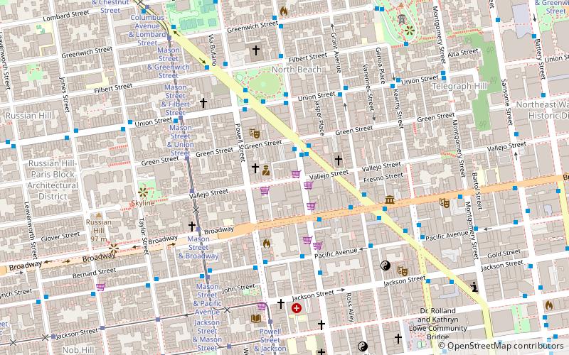
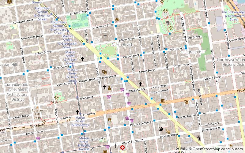
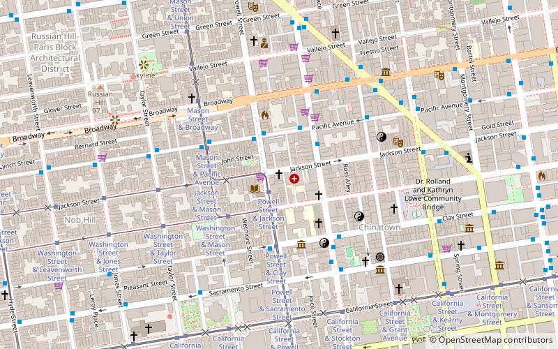
Map
Facts and practical information
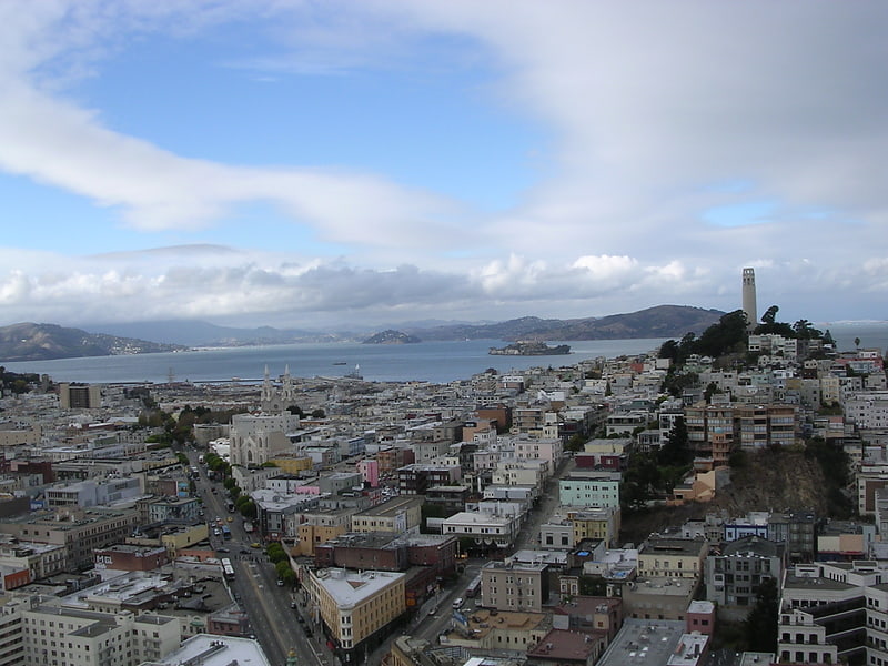
Keystone Korner was a jazz club in the North Beach neighborhood of San Francisco, which opened in 1972 and continued operation until 1983. Many live recordings were made at the club. Jessica Williams was the house pianist for a number of years. ()
Address
Northeast San Francisco (North Beach)San Francisco
ContactAdd
Social media
Add
Getting there by public transportation
Public transportation stops near this location
- Metro
- Bus
- Trolleybus
- Tram
- Light rail
- Ferry
 Metro
Metro
- Calculate routeStockton Street & Columbus Avenue 2 min walk
- Calculate routeUnion Street & Columbus Avenue 4 min walk
- Calculate routeColumbus Avenue & Union Street 4 min walk
- Calculate routeStockton Street & Columbus Avenue 2 min walk
- Calculate routeBroadway & Stockton Street 3 min walk
- Calculate routePacific Avenue & Stockton Street 4 min walk
- Calculate routeMason Street & Vallejo Street 4 min walk
- Calculate routeMason Street & Green Street 5 min walk
- Calculate routeMason Street & Broadway 5 min walk
- Calculate routeMason Street & Union Street 6 min walk
- Calculate routePier 41 Gate 1 20 min walk
- Calculate routePier 41 Gate 2 20 min walk
- Calculate routeFerry Building Gate B 23 min walk
- Calculate routeMontgomery Street 20 min walk
- Calculate routeEmbarcadero 21 min walk
- Calculate routePowell Street 25 min walk
- Calculate routeMontgomery Street 20 min walk
- Calculate routeEmbarcadero 21 min walk
- Calculate routePowell Street 25 min walk
- Calculate routeFolsom 32 min walk
Maps Muni Metro
Muni MetroDay trips
Keystone Korner – popular in the area (distance from the attraction)
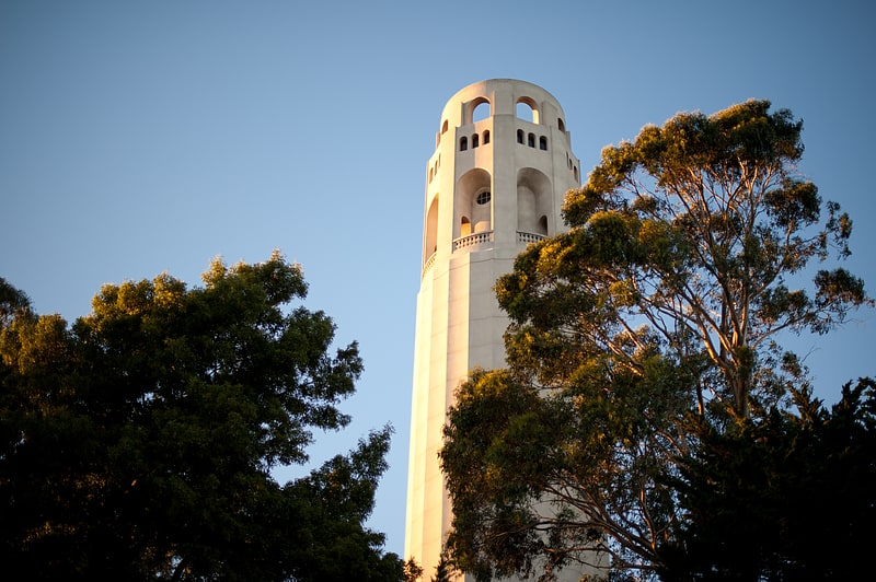
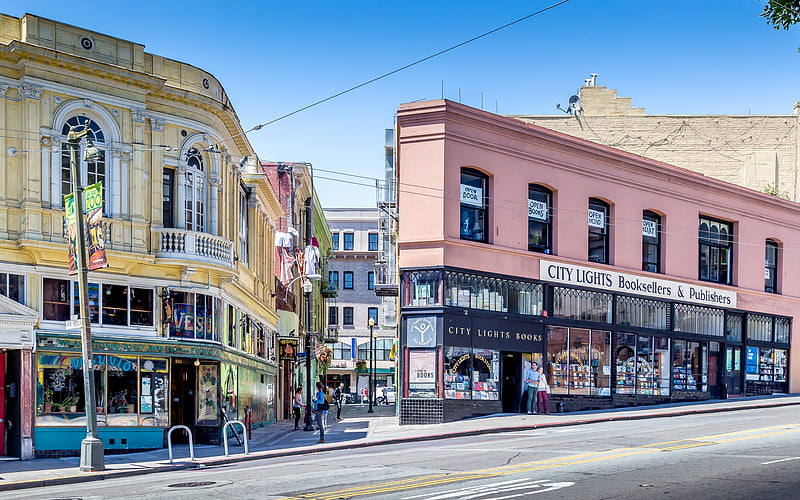
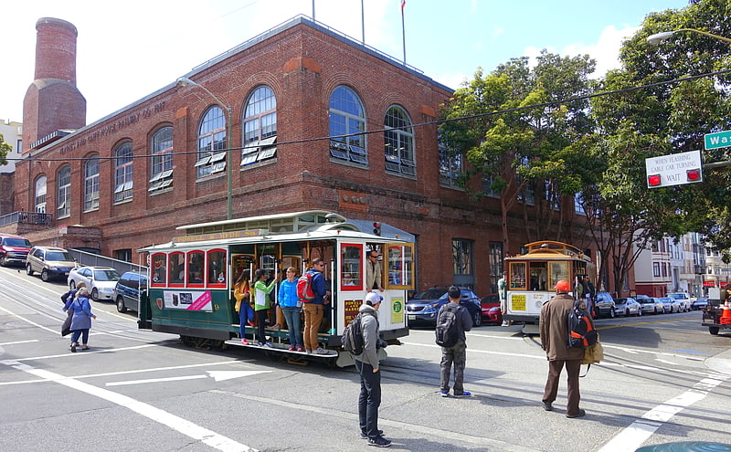
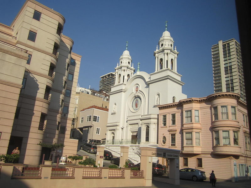
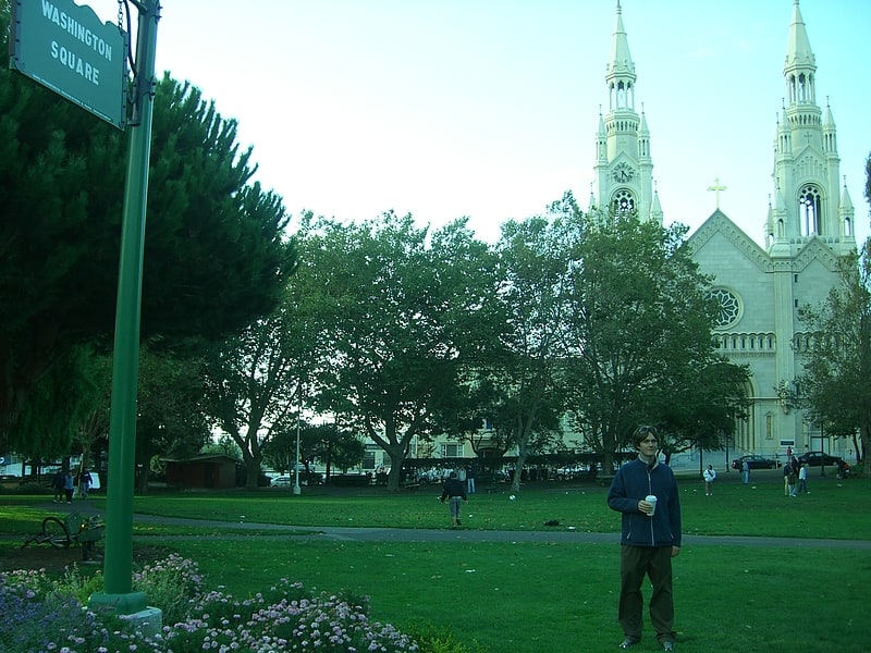
Nearby attractions include: Coit Tower, City Lights Bookstore, Cable Car Museum, Nuestra Senora De Guadalupe Church.
Frequently Asked Questions (FAQ)
Which popular attractions are close to Keystone Korner?
Nearby attractions include Beach Blanket Babylon, San Francisco (2 min walk), Club Fugazi, San Francisco (2 min walk), National Shrine of Saint Francis of Assisi, San Francisco (3 min walk), Stockton Street, San Francisco (4 min walk).
How to get to Keystone Korner by public transport?
The nearest stations to Keystone Korner:
Trolleybus
Bus
Tram
Ferry
Metro
Light rail
Trolleybus
- Stockton Street & Columbus Avenue • Lines: 30, 45 (2 min walk)
- Union Street & Columbus Avenue • Lines: 45 (4 min walk)
Bus
- Stockton Street & Columbus Avenue • Lines: 30, 8, 91 (2 min walk)
- Broadway & Stockton Street • Lines: 12 (3 min walk)
Tram
- Mason Street & Vallejo Street (4 min walk)
- Mason Street & Green Street (5 min walk)
Ferry
- Pier 41 Gate 1 • Lines: Blue & Gold Fleet (20 min walk)
- Pier 41 Gate 2 • Lines: Blue & Gold Fleet, San Francisco Bay Ferry (20 min walk)
Metro
- Montgomery Street • Lines: Blue, Green, Red, Yellow (20 min walk)
- Embarcadero • Lines: Blue, Green, Red, Yellow (21 min walk)
Light rail
- Montgomery Street • Lines: K, N, S, T (20 min walk)
- Embarcadero • Lines: K, N, S, T (21 min walk)