Vernita Bridge, Hanford Reach National Monument
Map

Map

Facts and practical information
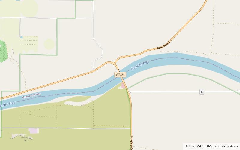
The Vernita Bridge is a bridge on Washington State Route 24 over the Columbia River between Grant County and Benton County, located approximately 10 miles south of Desert Aire and Mattawa, Washington. The bridge is in the Hanford Reach National Monument near the Hanford Site. ()
Opened: 1965 (61 years ago)Length: 1982 ftCoordinates: 46°38'33"N, 119°43'59"W
Address
Hanford Reach National Monument
ContactAdd
Social media
Add
Day trips
Vernita Bridge – popular in the area (distance from the attraction)
Nearby attractions include: Arid Lands Ecology Reserve.

