Greyrock Mountain National Recreation Trail, Poudre Park

Gallery (1)
Map
Map
Facts and practical information
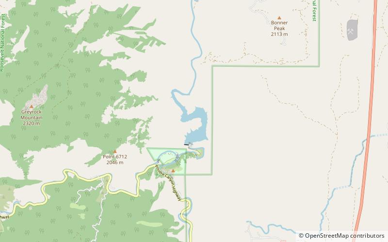
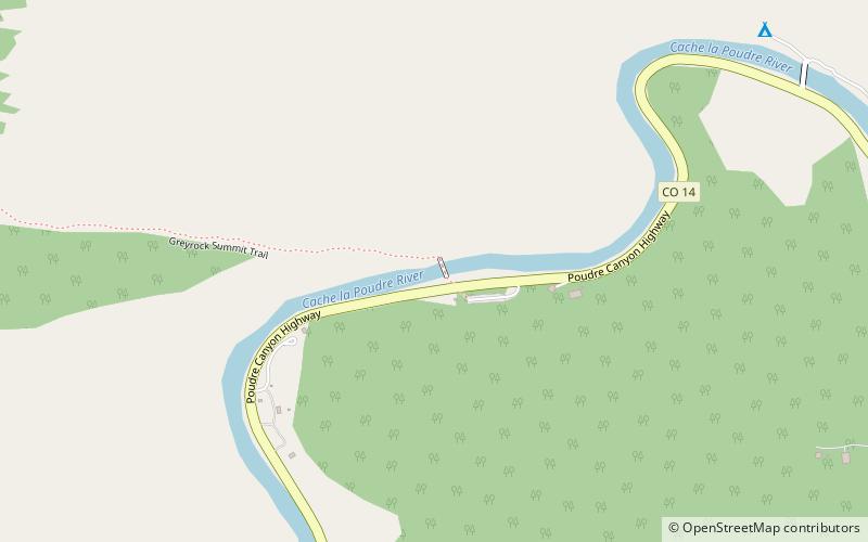
Greyrock Mountain National Recreation Trail is a hiking trail in Roosevelt National Forest west of Laporte, Colorado. The trail was constructed by the Civilian Conservation Corps in the 1930s and designated as a National Recreation Trail in 1979. ()
Length: 3.1 miMaximum elevation: 7613 ftMinimal elevation: 5574 ftCoordinates: 40°41'43"N, 105°17'6"W
Day trips