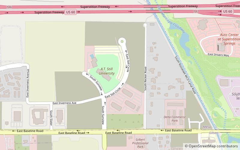
Arizona School of Dentistry and Oral Health, Mesa
Map
Facts and practical information
Arizona School of Dentistry and Oral Health is a graduate school of dentistry located in the city of Mesa, Arizona, United States, and is affiliated with A.T. Still University. ()
Established: 2003 (23 years ago)Coordinates: 33°22'58"N, 111°42'14"W
Getting there by public transportation
Public transportation stops near this location
- Bus
 Bus
Bus
- Calculate routeSuperstition Springs Transit Center 23 min walk
- Calculate route15856 25 min walk
Day trips


Frequently Asked Questions (FAQ)
How to get to Arizona School of Dentistry and Oral Health by public transport?
The nearest stations to Arizona School of Dentistry and Oral Health:
Bus
Bus
- Superstition Springs Transit Center (23 min walk)
- 15856 • Lines: 184 Nb (25 min walk)