Rockville Bridge, Rockville
Map
Map

Facts and practical information
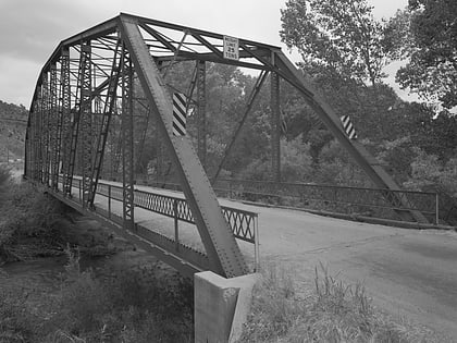
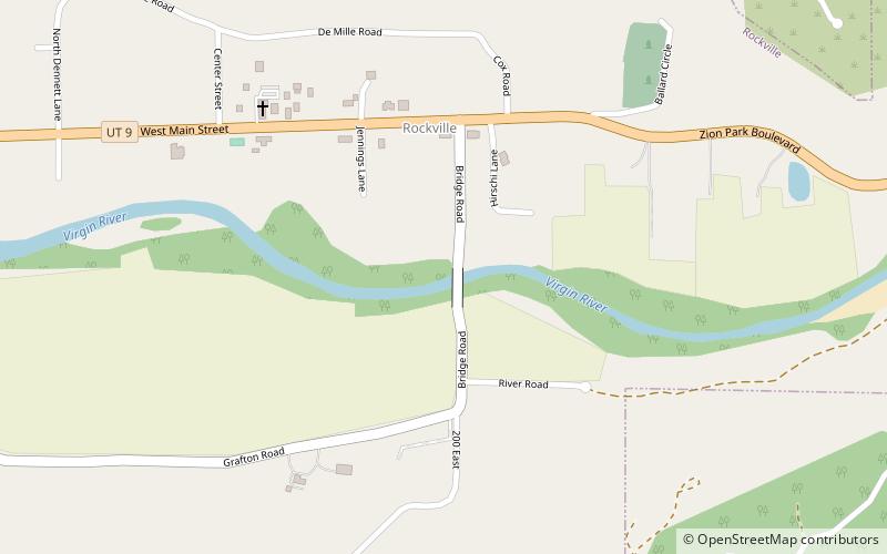
The Rockville Bridge spans the east fork of the Virgin River in Rockville, Utah, United States. The bridge was built for the National Park Service in 1924 to provide a link between Zion National Park and the North Rim area of Grand Canyon National Park. The new bridge allowed motorists to take a circular tour of the national parks in southern Utah and northern Arizona. The Rockville route was superseded in 1928 by the construction of the Zion-Mount Carmel Highway. ()
Built: 1924 (102 years ago)Coordinates: 37°9'32"N, 113°2'17"W
Day trips
Rockville Bridge – popular in the area (distance from the attraction)
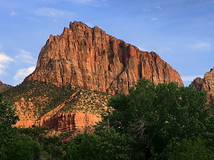
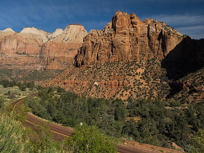
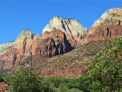
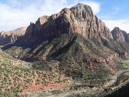
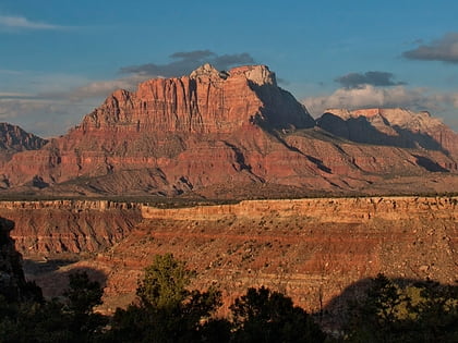
Nearby attractions include: The Watchman, The East Temple, Mount Spry, Twin Brothers.
