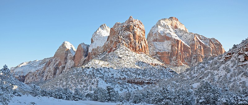
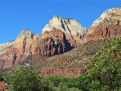
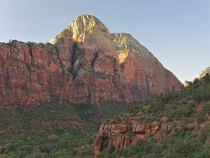
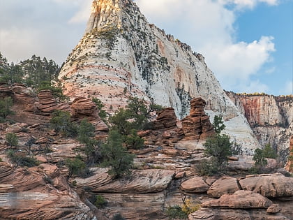
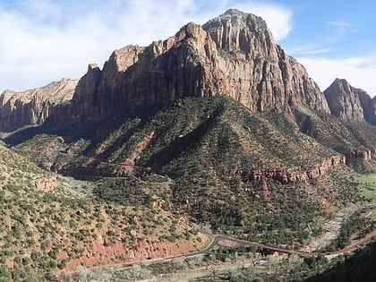
Mount Spry, Zion National Park
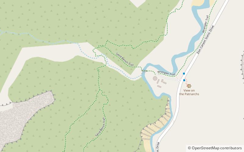
Map
Gallery
Facts and practical information
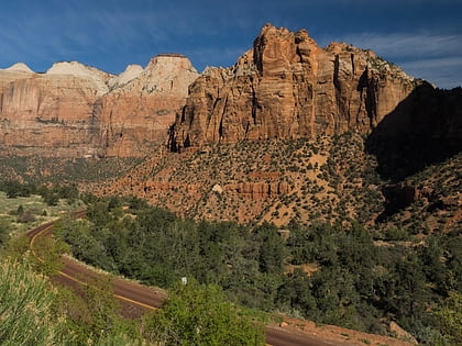
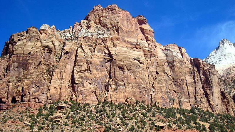
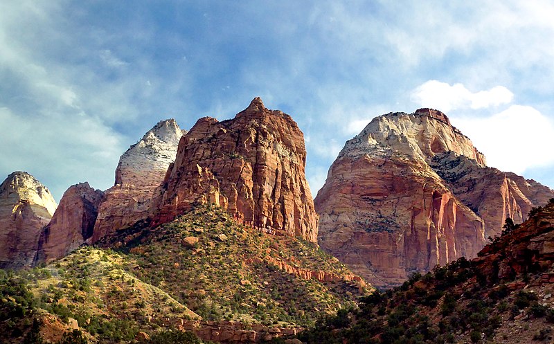
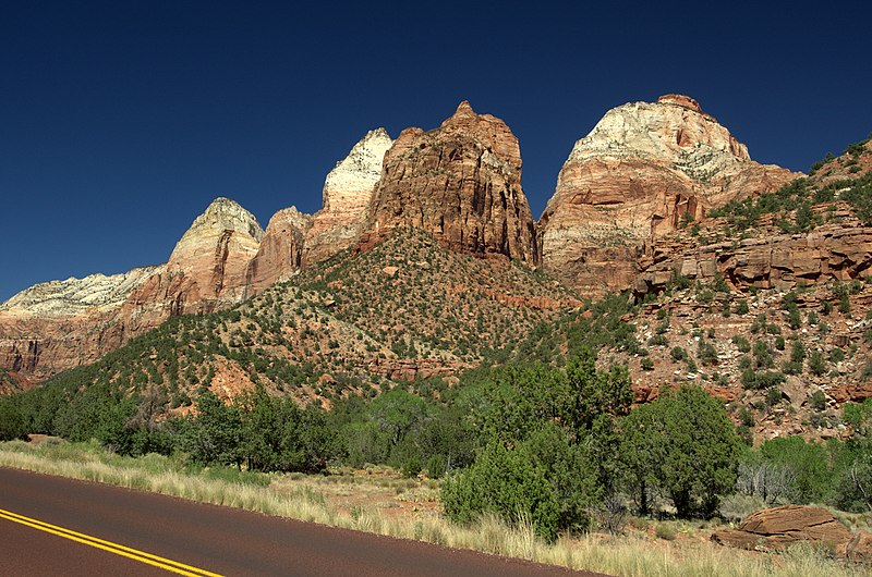
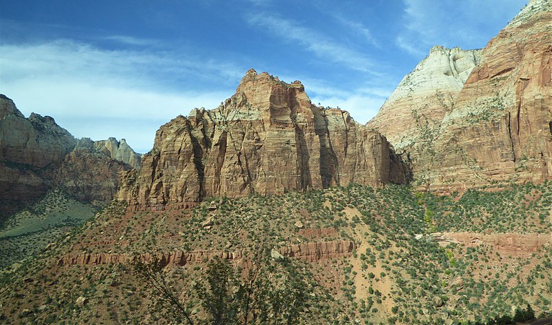
Mount Spry is a small 5,720-ft elevation mountain summit made of Navajo Sandstone located in Zion National Park, in Washington County of southwest Utah, United States. Officially named in 1934, it honors William Spry, the third governor of Utah. The nearest higher peak is The East Temple, 0.34 miles to the east. Precipitation runoff from the mountain drains into tributaries of the North Fork Virgin River. ()
Coordinates: 37°13'15"N, 112°57'48"W
Address
Zion National Park
ContactAdd
Social media
Add
Day trips
Mount Spry – popular in the area (distance from the attraction)
Nearby attractions include: The East Temple, Twin Brothers, Mountain of the Sun, Deertrap Mountain.
Frequently Asked Questions (FAQ)
Which popular attractions are close to Mount Spry?
Nearby attractions include The East Temple, Zion National Park (18 min walk), Twin Brothers, Zion National Park (19 min walk).
How to get to Mount Spry by public transport?
The nearest stations to Mount Spry:
Bus
Bus
- Canyon Junction • Lines: Zion Shuttle (Northbound), Zion Shuttle (Southbound) (16 min walk)
- Court of the Patriarchs • Lines: Zion Shuttle (Northbound), Zion Shuttle (Southbound) (29 min walk)
