Fair Haven, New Haven
Map

Gallery

Facts and practical information
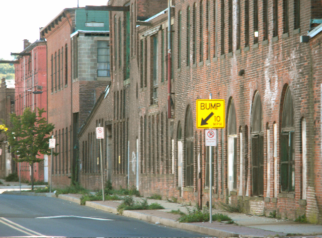
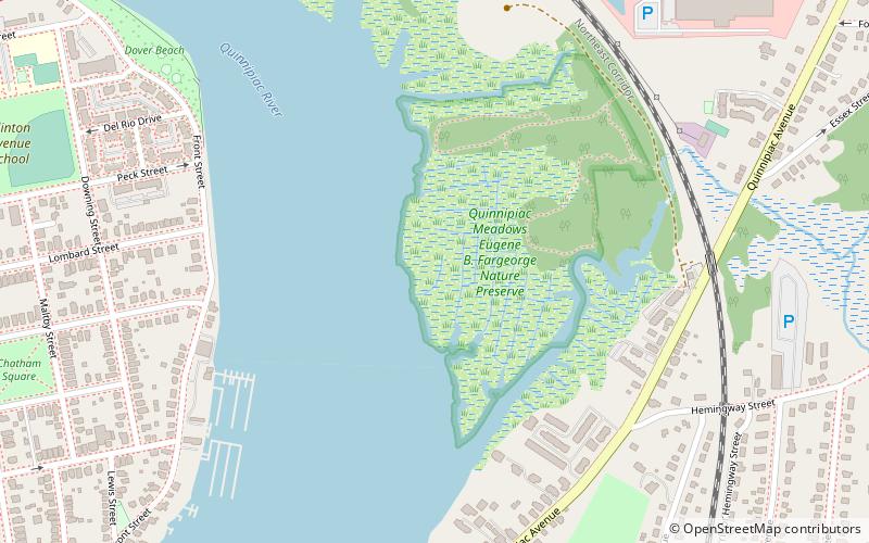
Fair Haven is a neighborhood in the eastern part of the city of New Haven, Connecticut, between the Mill and Quinnipiac rivers. The northeast section of the neighborhood is also known as Chatham Square. ()
Coordinates: 41°18'40"N, 72°53'45"W
Address
Fair HavenNew Haven
ContactAdd
Social media
Add
Day trips
Fair Haven – popular in the area (distance from the attraction)
Nearby attractions include: Soldiers' and Sailors' Monument, East Rock, Wooster Square, St. Stanislaus Parish.
Frequently Asked Questions (FAQ)
Which popular attractions are close to Fair Haven?
Nearby attractions include Fair Haven Union Cemetery, New Haven (6 min walk), Quinnipiac Brewery, New Haven (14 min walk), River Street Historic District, New Haven (17 min walk), Grannis Island, New Haven (20 min walk).
How to get to Fair Haven by public transport?
The nearest stations to Fair Haven:
Bus
Bus
- Foster/Edwards • Lines: Orange Line (Day) (25 min walk)
- Willow/Foster • Lines: Orange Line (Day) (26 min walk)


