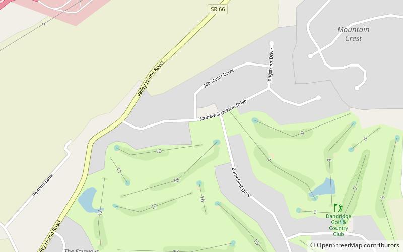
Dandridge Golf & Country Club, Dandridge

Gallery (1)
Map
Map
Facts and practical information
Dandridge Golf & Country Club (address: 1247 Stonewall Jackson Dr) is a place located in Dandridge (Tennessee state) and belongs to the category of outdoor activities, golf.
It is situated at an altitude of 1319 feet, and its geographical coordinates are 36°2'49"N latitude and 83°24'22"W longitude.
Among other places and attractions worth visiting in the area are: Christ Temple AME Zion Church (church, 48 min walk), Lighthouse Pointe Marina (sailing, 165 min walk), Burke–Tarr Stadium, Jefferson City (sport venue, 174 min walk).
Coordinates: 36°2'49"N, 83°24'22"W
Day trips