Lighthouse Pointe Marina, Dandridge

Gallery (1)
Map
Map
Facts and practical information
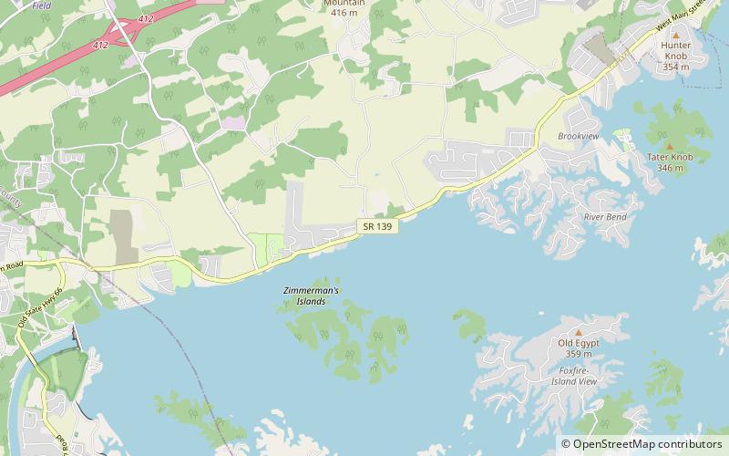
Lighthouse Pointe Marina (address: 1209 Highway 139) is a place located in Dandridge (Tennessee state) and belongs to the category of sailing, park, marina.
It is situated at an altitude of 1010 feet, and its geographical coordinates are 35°58'41"N latitude and 83°29'4"W longitude.
Among other places and attractions worth visiting in the area are: Christ Temple AME Zion Church (church, 131 min walk), Dandridge Golf & Country Club (outdoor activities, 165 min walk).
Elevation: 1010 ft a.s.l.Coordinates: 35°58'41"N, 83°29'4"W
Day trips

