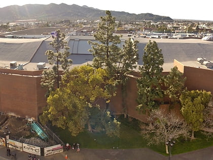
Glendale Galleria, Los Angeles
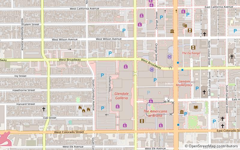
Map
Map

Facts and practical information
The Glendale Galleria is a large three-story regional shopping center and office complex located in downtown Glendale, California, United States. Opened in 1976 with 1.6 million square feet of retail space, it is the fourth largest mall in Los Angeles County after Westfield Topanga, Lakewood Center and Del Amo Fashion Center. ()
Opened: 1976 (50 years ago)Coordinates: 34°8'45"N, 118°15'32"W
Day trips
Glendale Galleria – popular in the area (distance from the attraction)
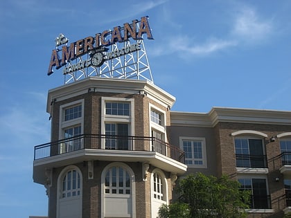
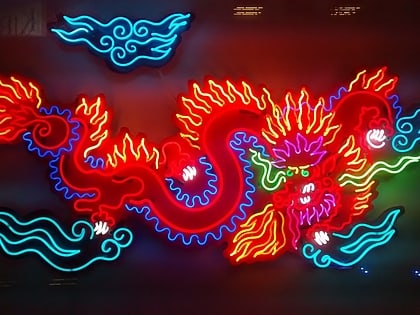
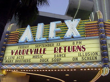
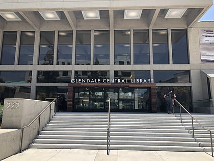
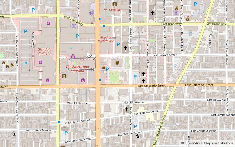
Nearby attractions include: The Americana at Brand, Museum of Neon Art, Alex Theatre, Glendale Public Library.
Frequently Asked Questions (FAQ)
Which popular attractions are close to Glendale Galleria?
Nearby attractions include Glendale, Los Angeles (7 min walk), Museum of Neon Art, Los Angeles (7 min walk), Glendale Public Library, Burbank (9 min walk), Roslin Art Gallery, Burbank (9 min walk).
How to get to Glendale Galleria by public transport?
The nearest stations to Glendale Galleria:
Bus
Bus
- Brand and Broadway • Lines: 92 (7 min walk)
- Brand & Colorado • Lines: 92 (8 min walk)
 Metro & Regional Rail