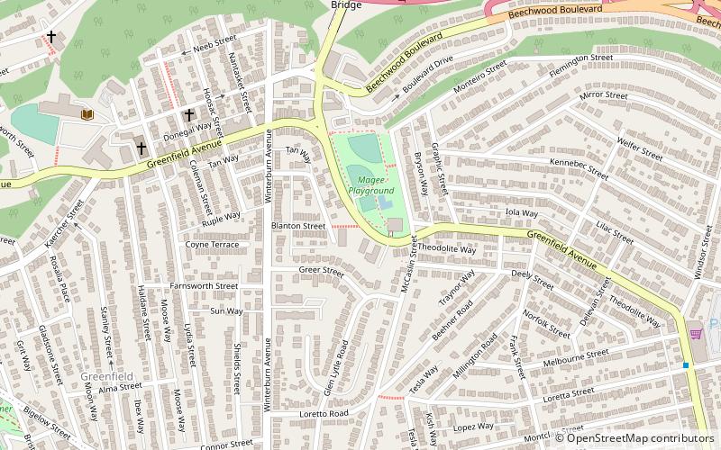
Greenfield, Pittsburgh
Map
Facts and practical information
Greenfield is a neighborhood in Pittsburgh, Pennsylvania, United States. It is represented on Pittsburgh City Council by Corey O'Connor. ()
Area: 0.77 mi²Coordinates: 40°25'28"N, 79°56'15"W
Address
East End (Greenfield)Pittsburgh
ContactAdd
Social media
Add
Getting there by public transportation
Public transportation stops near this location
- Bus
 Bus
Bus
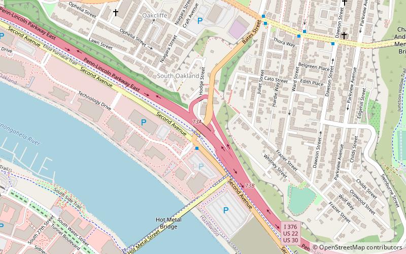
- Calculate routeWaterfront Drive at Bridge Street 39 min walk
Day trips


Frequently Asked Questions (FAQ)
Which popular attractions are close to Greenfield?
Nearby attractions include Greenfield Bridge, Pittsburgh (8 min walk), Saint John Chrysostom Byzantine Catholic Church, Pittsburgh (12 min walk), Schenley Park Ice Skating Rink, Pittsburgh (15 min walk), Squirrel Hill Tunnel, Pittsburgh (17 min walk).
How to get to Greenfield by public transport?
The nearest stations to Greenfield:
Bus
Bus
- Waterfront Drive at Bridge Street • Lines: 59 (39 min walk)