Massachusetts Heights, Washington D.C.
Map
Map

Facts and practical information
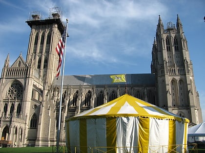
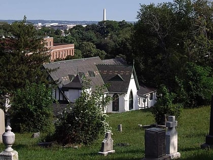
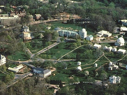
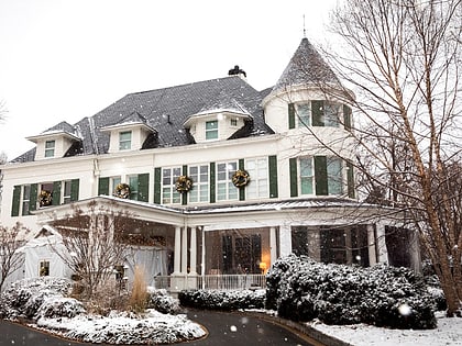
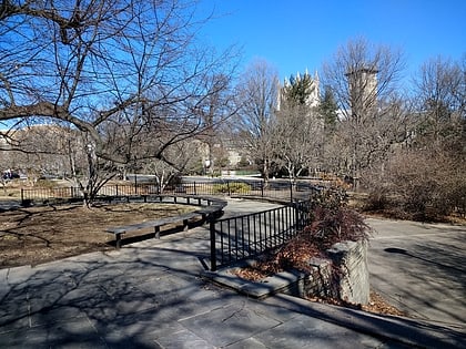
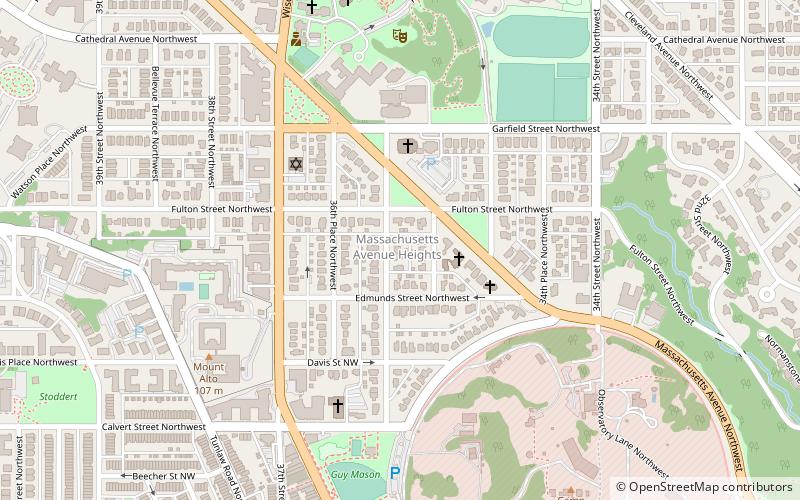
Massachusetts Heights is a small neighborhood in Northwest Washington, DC, dominated by the grounds of the Washington National Cathedral. ()
Coordinates: 38°55'32"N, 77°4'14"W
Address
Northwest Washington (Glover Park)Washington D.C.
ContactAdd
Social media
Add
Day trips
Massachusetts Heights – popular in the area (distance from the attraction)
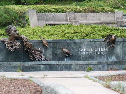
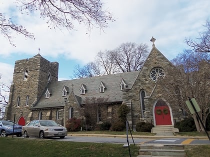
Nearby attractions include: Washington National Cathedral, All Hallows Guild Carousel, Khalil Gibran Memorial, St. Alban's Episcopal Church.
Frequently Asked Questions (FAQ)
Which popular attractions are close to Massachusetts Heights?
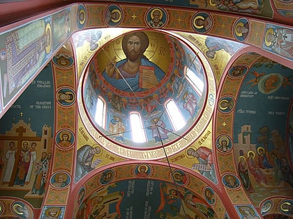
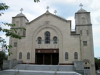
Nearby attractions include St. Nicholas Cathedral, Washington D.C. (3 min walk), Saint Sophia Cathedral, Washington D.C. (4 min walk), Bryce Park, Washington D.C. (6 min walk), Alban Towers, Washington D.C. (8 min walk).
How to get to Massachusetts Heights by public transport?
The nearest stations to Massachusetts Heights:
Metro
Bus
Metro
- Cleveland Park • Lines: Rd (24 min walk)
- Woodley Park • Lines: Rd (25 min walk)
Bus
- Bus Loading (28 min walk)
- South Campus • Lines: White Route (33 min walk)


