Mission Oaks Gardens, Zanesville
Map

Map

Facts and practical information
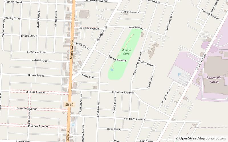
Mission Oaks Gardens (address: 424 Hunter Ave) is a place located in Zanesville (Ohio state) and belongs to the category of garden, park, relax in park.
It is situated at an altitude of 778 feet, and its geographical coordinates are 39°57'39"N latitude and 82°0'25"W longitude.
Among other places and attractions worth visiting in the area are: Alameda Apartments (gothic revival architecture, 30 min walk), St. James Episcopal Church (church, 32 min walk), St. Thomas Aquinas Church (church, 32 min walk).
Elevation: 778 ft a.s.l.Coordinates: 39°57'39"N, 82°0'25"W
Day trips
Mission Oaks Gardens – popular in the area (distance from the attraction)
Nearby attractions include: Colony Square Mall, St. Thomas Aquinas Church, Muskingum County Courthouse, St. John's Lutheran Church.


