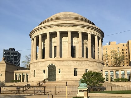
Temple Sholom, Chicago
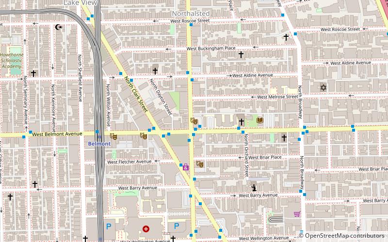
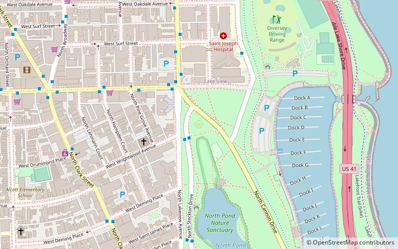
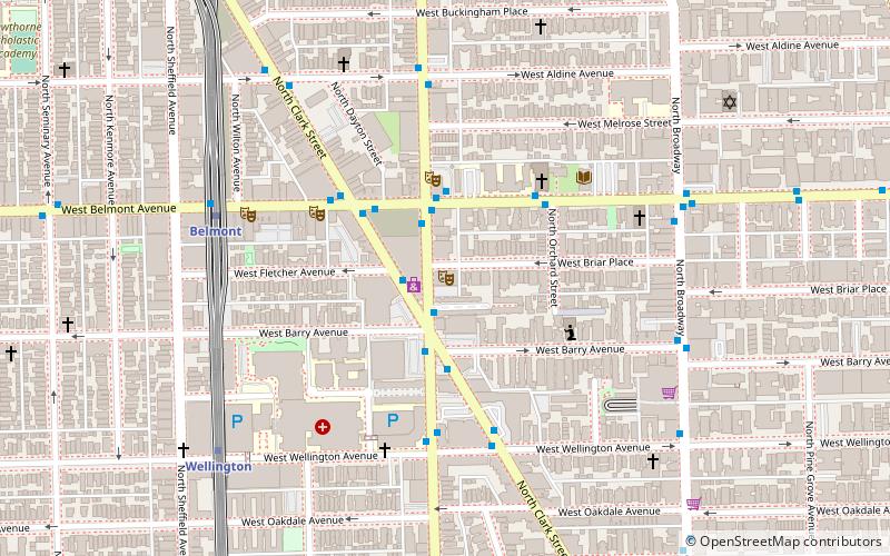
Map
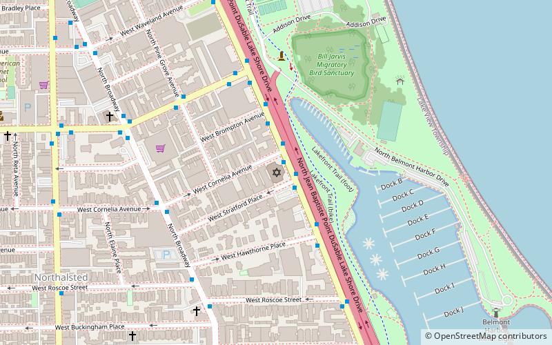
Map

Facts and practical information
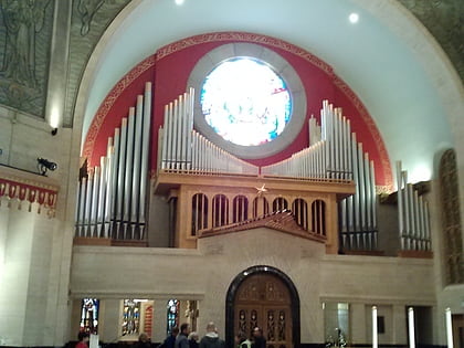
Temple Sholom is a Reform Jewish congregation located at 3480 N. Lake Shore Drive in Chicago, Illinois. Founded in 1867, it is one of the oldest and largest synagogues in Chicago with over 1,100 Member Families ()
Completed: 1928 (98 years ago)Architectural style: Moorish revival, Byzantine revivalCapacity: 1350Coordinates: 41°56'47"N, 87°38'33"W
Day trips
Temple Sholom – popular in the area (distance from the attraction)
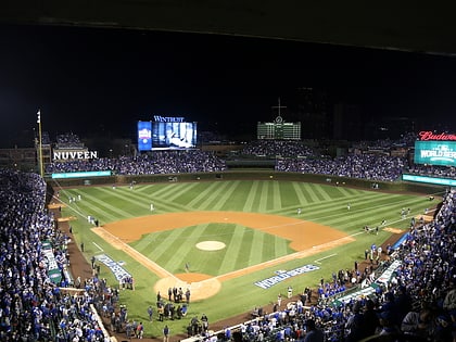
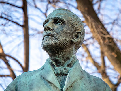
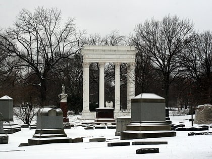
Nearby attractions include: Lincoln Park, Wrigley Field, Statue of Richard J. Oglesby, Graceland Cemetery.
Frequently Asked Questions (FAQ)
Which popular attractions are close to Temple Sholom?
Nearby attractions include Kwanusila, Chicago (5 min walk), Lincoln Park, Chicago (6 min walk), Anshe Emet Synagogue, Chicago (12 min walk), The Playground Theater, Chicago (14 min walk).
How to get to Temple Sholom by public transport?
The nearest stations to Temple Sholom:
Bus
Metro
Bus
- Lake Shore Drive & Cornelia SB • Lines: 135, 146, 151 (1 min walk)
Metro
- Addison • Lines: Red (15 min walk)
- Belmont • Lines: Brown, Purple, Red (19 min walk)

 Rail "L"
