Shaarei Tefillah, Newton
Map
Facts and practical information
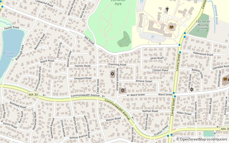
Congregation Shaarei Tefillah is a Modern Orthodox synagogue located at 35 Morseland Avenue in the village of Newton Centre in Newton, Massachusetts. In 2003, the synagogue had a membership of 140 families, and in 2012 that number had risen to 220 families. The congregation is notable for the unusual concentration of distinguished scholars among its members. ()
Capacity: 300Coordinates: 42°20'22"N, 71°11'51"W
Getting there by public transportation
Public transportation stops near this location
- Bus
- Light rail
- Train
 Bus
Bus
- Calculate routeWalnut St @ Prospect St 13 min walk
- Calculate route791 Walnut St 18 min walk
- Calculate route400 Centre St - West 34 min walk
- Calculate route400 Centre St - East 35 min walk
- Calculate routeNewton Centre 19 min walk
- Calculate routeNewton Highlands 32 min walk
- Calculate routeNewtonville 24 min walk
Day trips


Frequently Asked Questions (FAQ)
Which popular attractions are close to Shaarei Tefillah?
Nearby attractions include Jos. Gunderson House, Newton (5 min walk), Morton Road Historic District, Newton (6 min walk), East Parish Burying Ground, Newton (10 min walk), Commonwealth Avenue Historic District, Newton (11 min walk).
How to get to Shaarei Tefillah by public transport?
The nearest stations to Shaarei Tefillah:
Bus
Light rail
Train
Bus
- Walnut St @ Prospect St • Lines: 59 (13 min walk)
- 791 Walnut St • Lines: 59 (18 min walk)
Light rail
- Newton Centre • Lines: D (19 min walk)
- Newton Highlands • Lines: D (32 min walk)
Train
- Newtonville (24 min walk)