Union Street Historic District, Newton
Map
Map

Facts and practical information
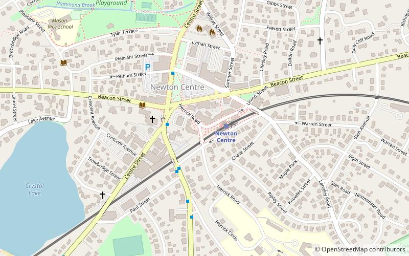
The Union Street Historic District is a historic district on Union Street between Langley Road and Herrick Road, and at 17–31 Herrick Road in Newton, Massachusetts. It encompasses the city's only significant cluster of 19th century commercial buildings. It was added to the National Register of Historic Places in 1986. ()
Coordinates: 42°19'46"N, 71°11'36"W
Address
107R Union St, Newton CentreNewton (Newton Centre)Newton
ContactAdd
Social media
Add
Day trips
Union Street Historic District – popular in the area (distance from the attraction)
Nearby attractions include: The Shops at Chestnut Hill, Piccadilly Square, Newton Commonwealth Golf Course, Chestnut Hill Square.
Frequently Asked Questions (FAQ)
Which popular attractions are close to Union Street Historic District?
Nearby attractions include Jonas Salisbury House, Newton (3 min walk), Jonas Salisbury House, Newton (3 min walk), Newton Centre, Newton (3 min walk), First Baptist Church in Newton, Newton (3 min walk).
How to get to Union Street Historic District by public transport?
The nearest stations to Union Street Historic District:
Light rail
Bus
Light rail
- Newton Centre • Lines: D (2 min walk)
- Newton Highlands • Lines: D (20 min walk)
Bus
- 791 Walnut St • Lines: 59 (21 min walk)
- Walnut St @ Prospect St • Lines: 59 (27 min walk)

