High Sierra Trail, Sequoia and Kings Canyon National Parks

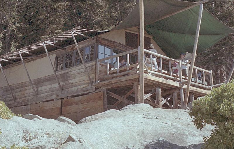
Gallery (3)
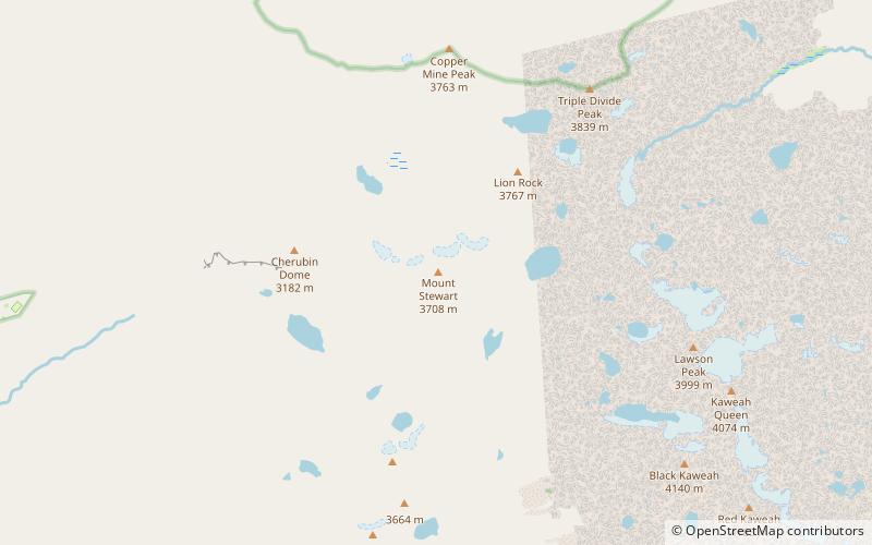
Map
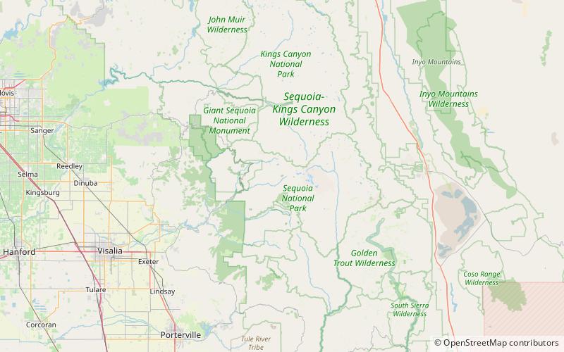
Map
Gallery
Facts and practical information
The High Sierra Trail is a hiking trail in Sequoia National Park, California. The trail crosses the Sierra Nevada from west to east. According to the Yosemite Decimal System, the HST is a Class 1/Class 2 trail, which means simple scrambling, with the possibility of occasional use of the hands for balance. ()
Length: 49 miMaximum elevation: 10700 ftMinimal elevation: 6700 ftCoordinates: 36°33'54"N, 118°37'16"W
Address
Sequoia and Kings Canyon National Parks
ContactAdd
Social media
Add
Day trips