Roaring River, Kings Canyon National Park
#31 among attractions in Kings Canyon National Park


Facts and practical information
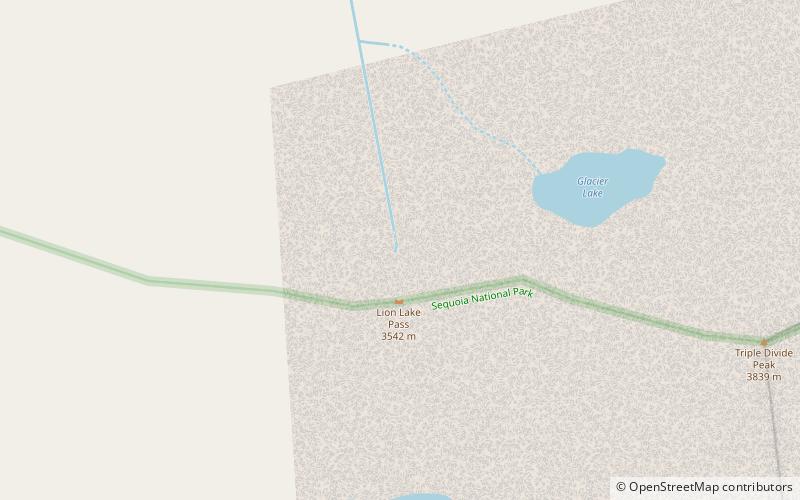
The Roaring River is a 16.6-mile long tributary of the South Fork Kings River, in the Sierra Nevada of Fresno County, California. The entire course of the river is within Kings Canyon National Park. ()
Kings Canyon National Park United States
Roaring River – popular in the area (distance from the attraction)
Nearby attractions include: Lippincott Mountain, High Sierra Trail, Eagle Scout Peak, Midway Mountain.
 Mountain
Lippincott Mountain, Sequoia and Kings Canyon National Parks
134 min walk • Lippincott Mountain is a 12,265-foot-elevation mountain summit located on the Great Western Divide of the Sierra Nevada mountain range, in Tulare County of northern California. It is situated in Sequoia National Park, 1.5 mile north of Mount Eisen, and 1.7 mile south of Eagle Scout Peak.
 Hiking, Hiking trail
High Sierra Trail, Sequoia and Kings Canyon National Parks
128 min walk • The High Sierra Trail is a hiking trail in Sequoia National Park, California. The trail crosses the Sierra Nevada from west to east. According to the Yosemite Decimal System, the HST is a Class 1/Class 2 trail, which means simple scrambling, with the possibility of occasional use of the hands for balance.
 Mountain
Eagle Scout Peak, Sequoia and Kings Canyon National Parks
92 min walk • Eagle Scout Peak is a 12,005-foot mountain on the Great Western Divide of the southern Sierra Nevada. The mountain is located in the backcountry of Sequoia National Park.
 Mountain
Midway Mountain, Sequoia and Kings Canyon National Parks
116 min walk • Midway Mountain is a remote 13,665-foot-elevation mountain summit located on the Great Western Divide of the Sierra Nevada mountain range, in Tulare County of northern California.
 Mountain
Whaleback, Kings Canyon National Park
64 min walk • Whaleback is a remote 11,717-foot-elevation three-mile-long ridge located in the Sierra Nevada mountain range, in Tulare County of northern California. It is situated in Kings Canyon National Park, extending north from the Great Western Divide.
 Nature, Natural attraction, Mountain
Thunder Mountain, Kings Canyon National Park
159 min walk • Thunder Mountain is located in the northern part of the Great Western Divide, a sub-range of the Sierra Nevada in California. The summit marks a point on the boundary between Sequoia and Kings Canyon national parks and is 0.6 miles north of Table Mountain and south 2.8 miles Mount Brewer.
 Nature, Natural attraction, Mountain
Mount Kaweah, Sequoia and Kings Canyon National Parks
148 min walk • Mount Kaweah is a mountain in California's Sequoia National Park and forms part of the Kaweah Peaks Ridge, a spur of the Great Western Divide which extends south from Triple Divide Peak.
 Nature, Natural attraction, Mountain
Triple Divide Peak, Sequoia and Kings Canyon National Parks
12 min walk • Triple Divide Peak is a mountain along the Great Western Divide in the Sierra Nevada range on the boundary between Kings Canyon and Sequoia national parks, in Tulare County, California. It rises to 12,640 feet.
 Nature, Natural attraction, Mountain
Milestone Mountain, Kings Canyon National Park
104 min walk • Milestone Mountain is a thirteener on the Great Western Divide, a subrange of the Sierra Nevada. The summit marks a point on the boundary between Sequoia and Kings Canyon national parks.
 Nature, Natural attraction, Mountain
Black Kaweah, Sequoia and Kings Canyon National Parks
93 min walk • Black Kaweah is a mountain of the Kaweah Peaks Ridge of the California's Sierra Nevada, in Sequoia National Park. The peak has a local magnetic disturbance that has caused compasses in the vicinity to vary by up to eight degrees.Fulgurites can be found on the peak.
 Nature, Natural attraction, Mountain
Red Kaweah, Sequoia and Kings Canyon National Parks
107 min walk • Red Kaweah is a mountain in California's Sequoia National Park on the Kaweah Peaks Ridge. It is 1.8 miles north of Mount Kaweah and 0.7 miles south of Black Kaweah.
