Atkins Peak, Yellowstone National Park

Map
Facts and practical information
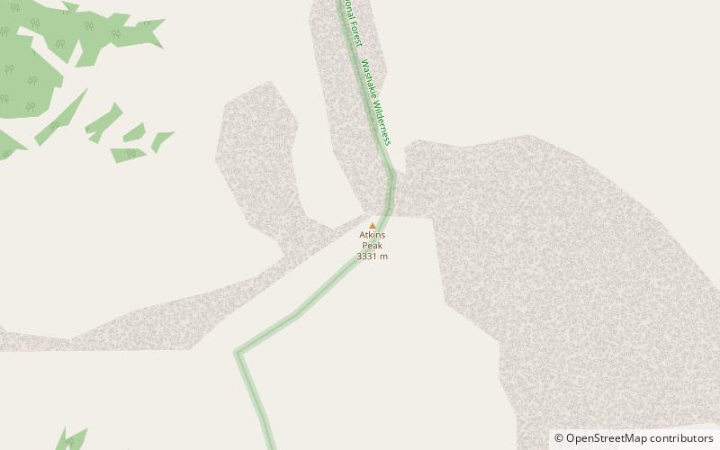
Atkins Peak, elevation 10,928 feet, is a mountain peak in the eastern section of the Absaroka Range in Yellowstone National Park, in the U.S. state of Wyoming. ()
Elevation: 10928 ftCoordinates: 44°22'34"N, 110°4'5"W
Address
Yellowstone National Park
ContactAdd
Social media
Add
Day trips
Atkins Peak – popular in the area (distance from the attraction)
Nearby attractions include: Colter Peak, Mount Doane, Eagle Peak, Mount Langford.


